
THE DAY BEFORE BLACK ELK PEAK
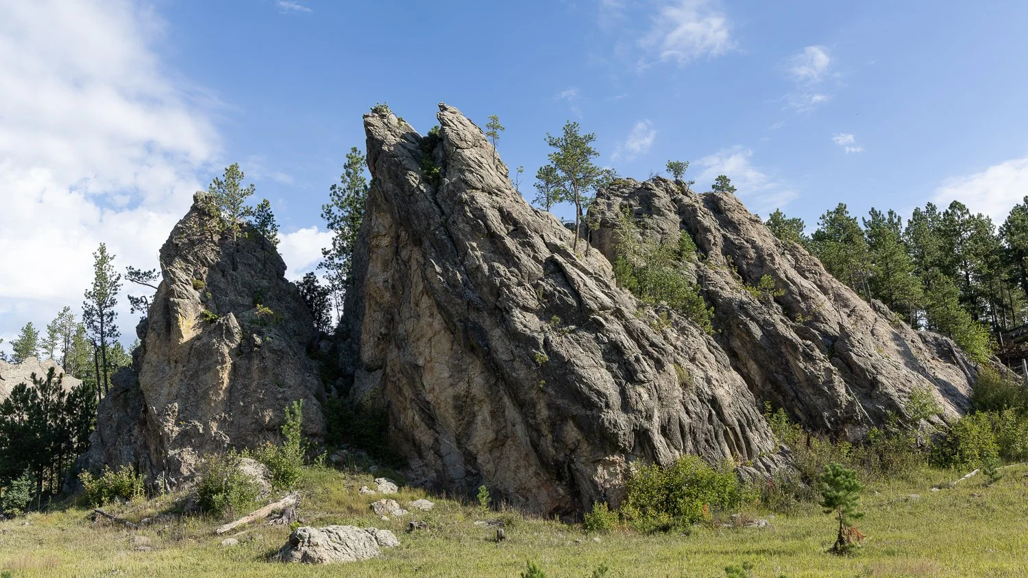
A CHANGE OF PLANS
–––
I woke up the next morning to the sound of drip, drip, drip.
What is this?
Oh no.
Showers.
I needed to make a quick trip to the bathroom, which was a couple hundred feet away, and I still had some things to pack into the car before heading to Custer, South Dakota, for the next part of my adventure.
Luckily, the morning showers didn't last long.
For the time being.
I got everything loaded into the car, and then the rain decided to come down a little harder.
Ugh.
I had originally planned to check out the steam train in Keystone that morning, but the weather wasn't exactly cooperating. The gloomy, rainy conditions weren't going to make for the kind of experience—or photos—I was hoping for.
So...
Change of plans.
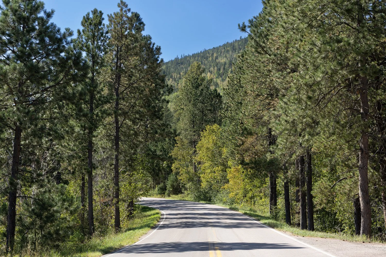
I decided to spend the morning sightseeing along Needles Highway instead.
And honestly, it's not really a highway when you're driving about 25 mph.
One thing I always do when I'm traveling is have backup plans. Weather, crowds, closures, or just circumstances can easily throw a wrench into an itinerary. Having an alternative means I can adjust without wasting the day.
Since I had plans to visit Crazy Horse at 1:00 p.m., I had plenty of time to explore Needles Highway.
I waited for the showers to ease up and managed to capture a few photos of the sunrise before finally hitting the road.
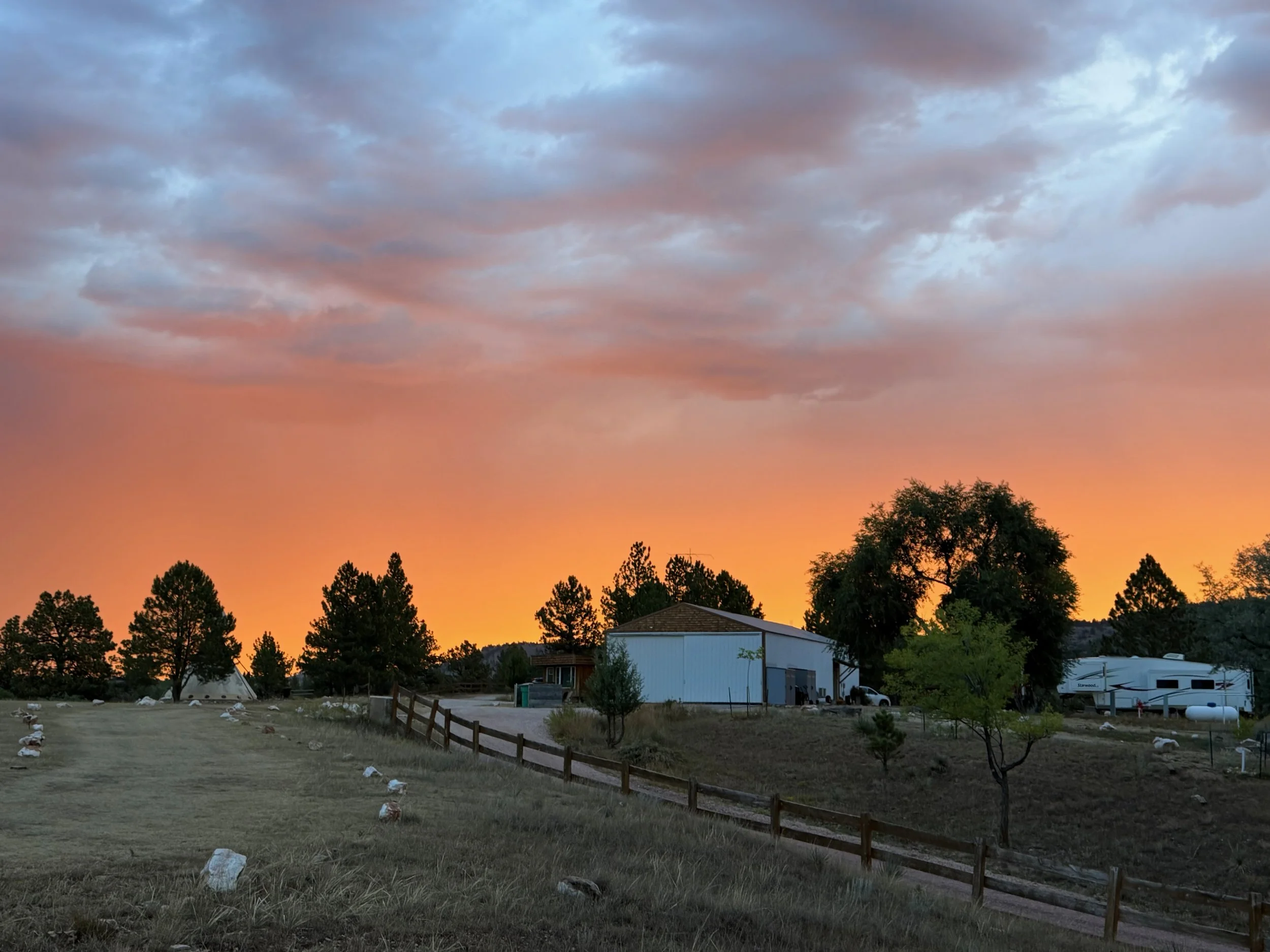
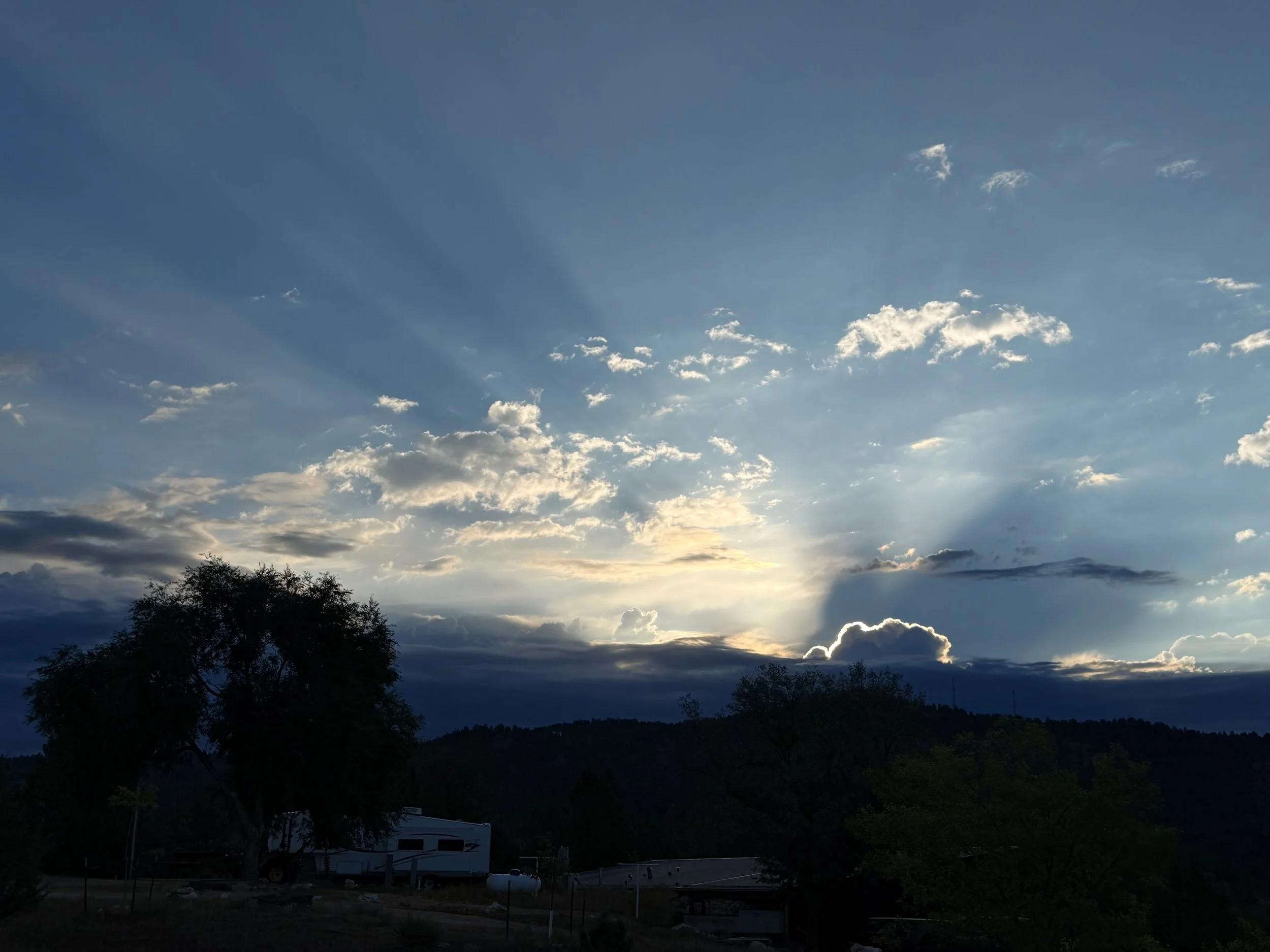
I really did enjoy my stay in the teepee, but it was time to pack up and move on.
CUSTER STATE PARK
–––
Before I even left home, I had purchased a non-resident annual state park pass because I wasn't sure how many times I'd be going in and out of Custer State Park during my trip.
I'm glad I did.
Once you have the pass, you don't have to stop at the entrance kiosk every time you enter the park unless you want to pick up a map. You can just keep driving through.
Very convenient.
There was just one downside.
The pass is a sticker that goes on the rental car's windshield.
And let me tell you...
Scraping that damn thing off before returning the rental car was a chore.
So, getting in and out of the park was easy.
Getting the pass off the windshield? Not so much.
NEEDLES HIGHWAY
–––
As I made my way toward Needles Highway, I drove through Wind Cave National Park, and apparently one bison had decided the road was the perfect place to hang out.
I also spotted some deer along the way. Apparently, one wasn’t too thrilled about having its picture taken. The face you make when you realize you’re being photographed.
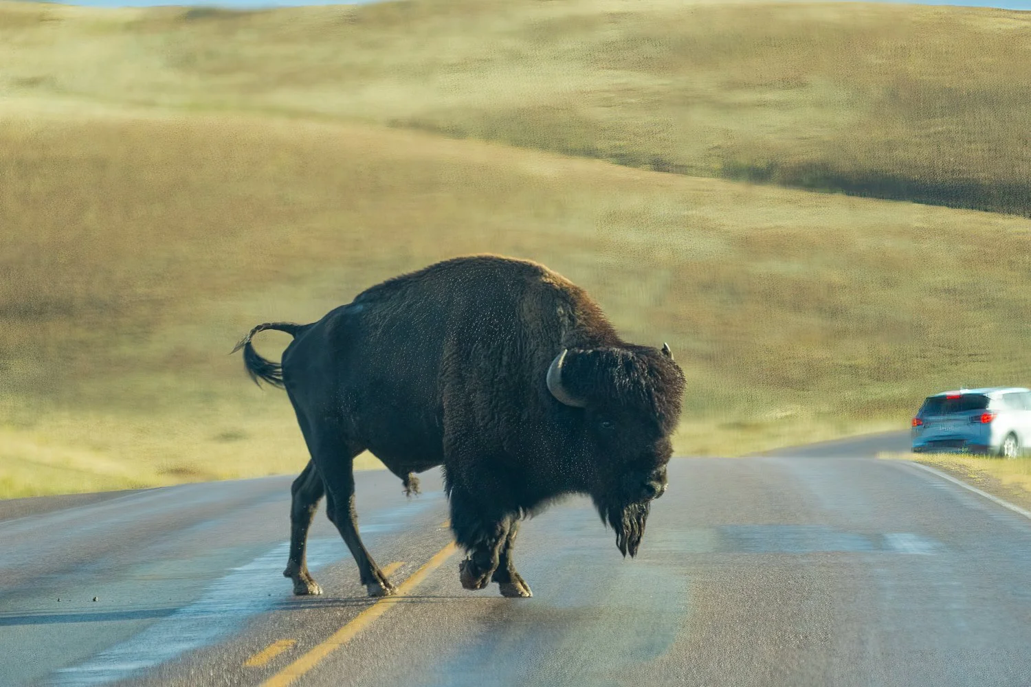
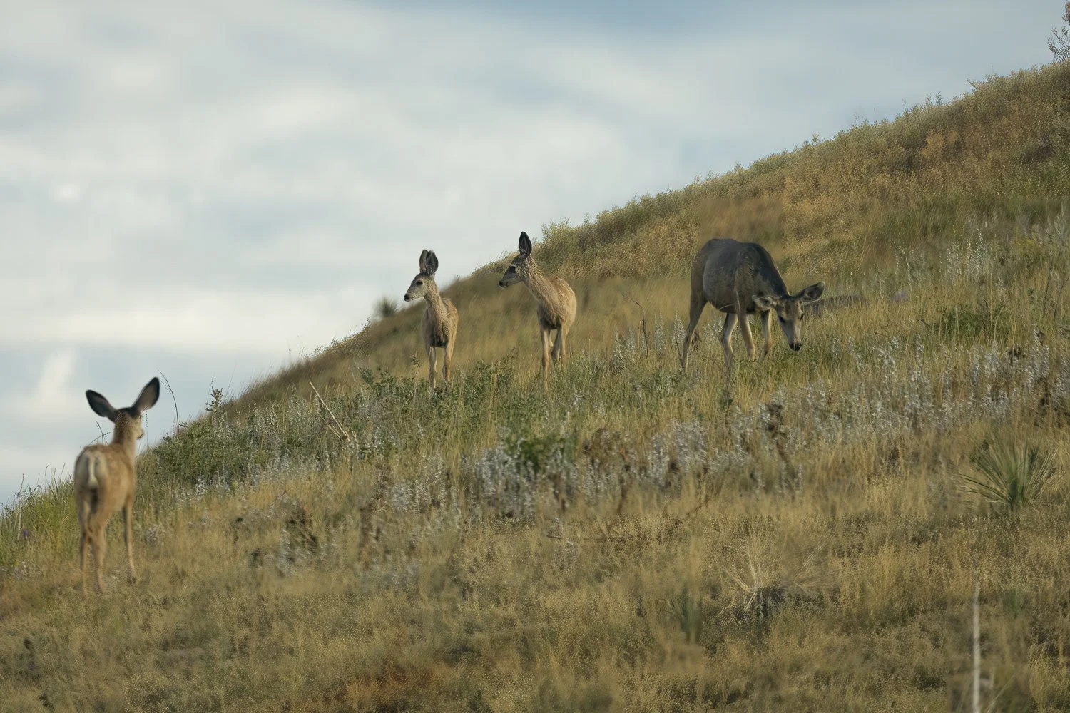
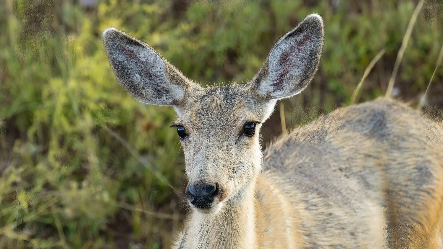
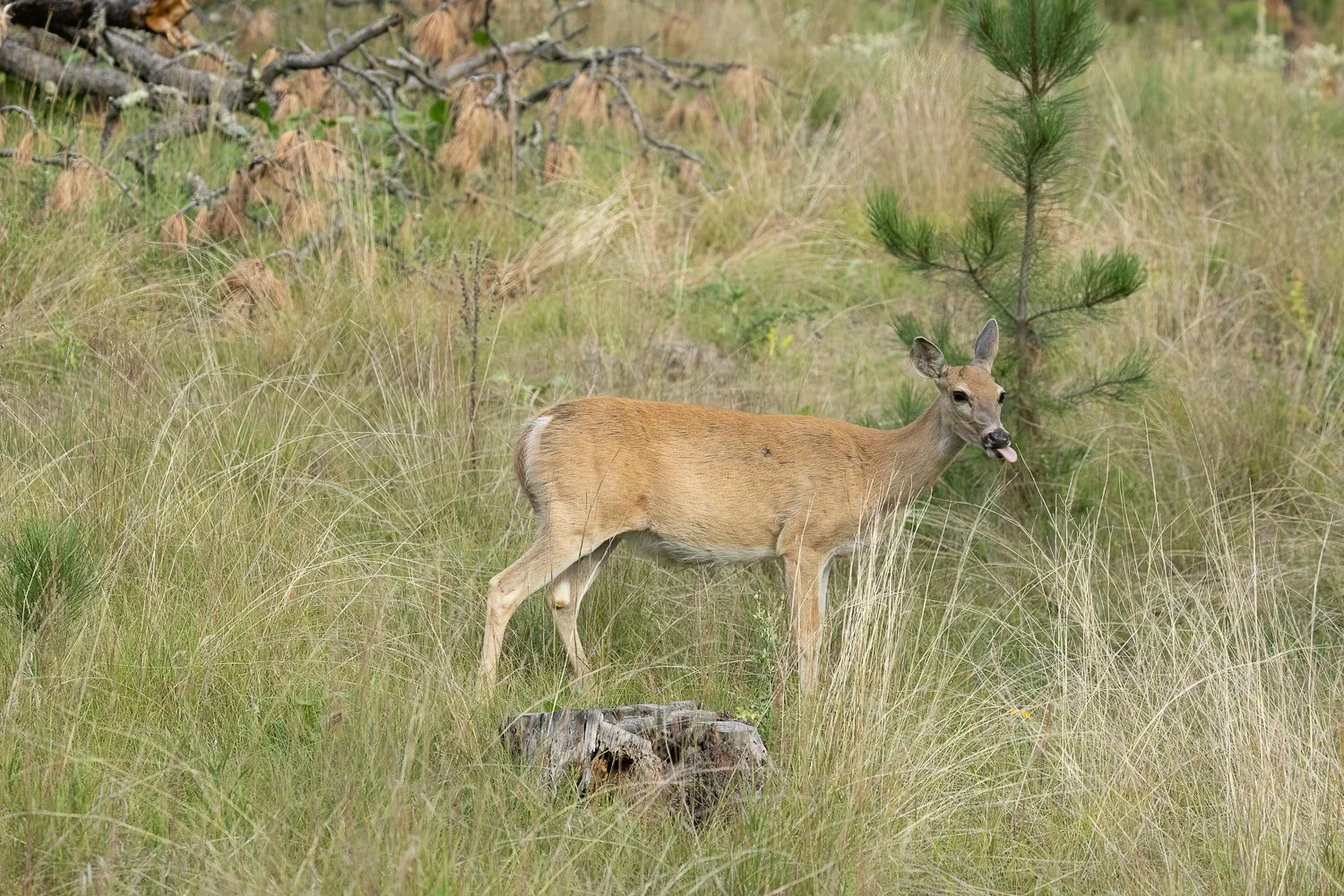
I guess this was my wildlife welcome committee before heading into Custer State Park.
Moving along. I had read somewhere that it was best to drive Needles Highway counterclockwise rather than clockwise. The idea was that when you first start out, you mainly encounter trees, with an occasional granite spire poking through and the ending would be the Cathedral Spires and the tunnels.
So that's the direction I went.
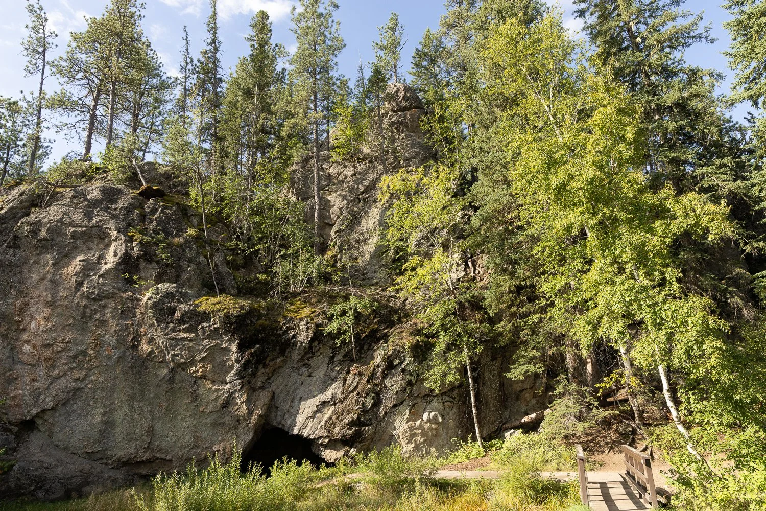
I passed the Hole-in-the-Wall picnic area.
Nope.
No way I was going in there. It was too dark, and the overgrown grass and barely visible trail weren't enough to lure me in. There was a small bridge, but it still wasn’t enough to convince me to walk over there.
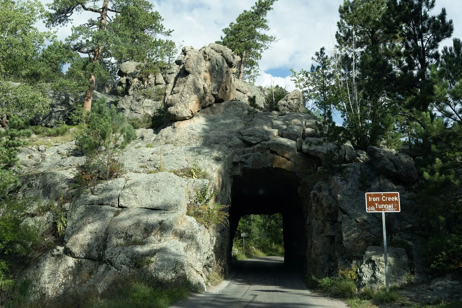
Then I came to the Iron Creek Tunnel.
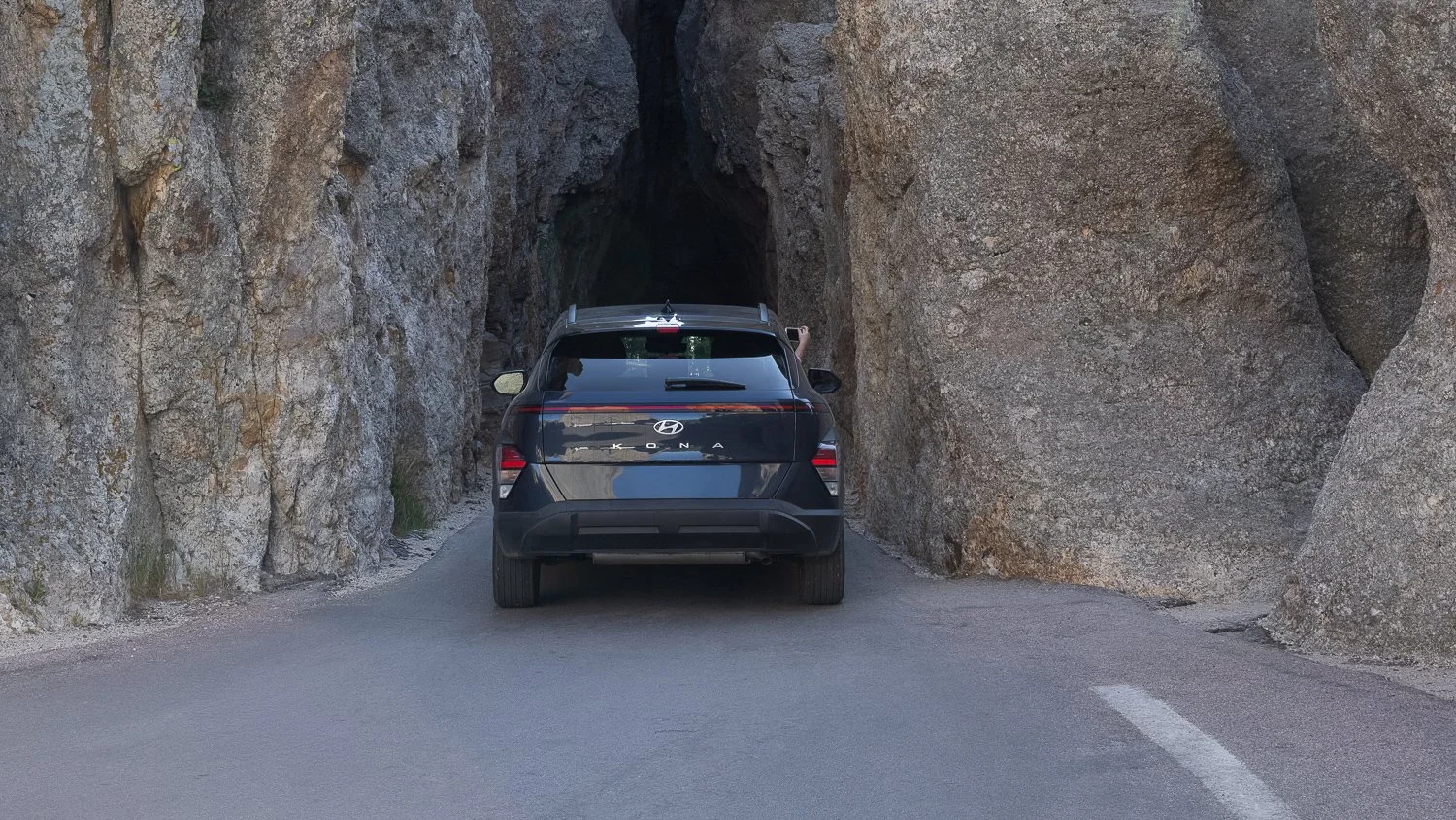
Needles Tunnel
Tight squeeze for anything larger than a car.
And shortly after that...
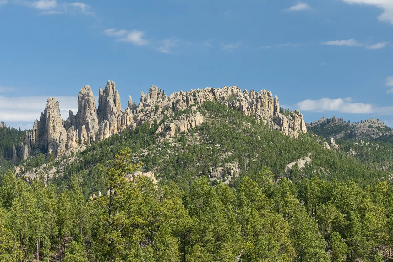
There it was.
The Cathedral Spires.
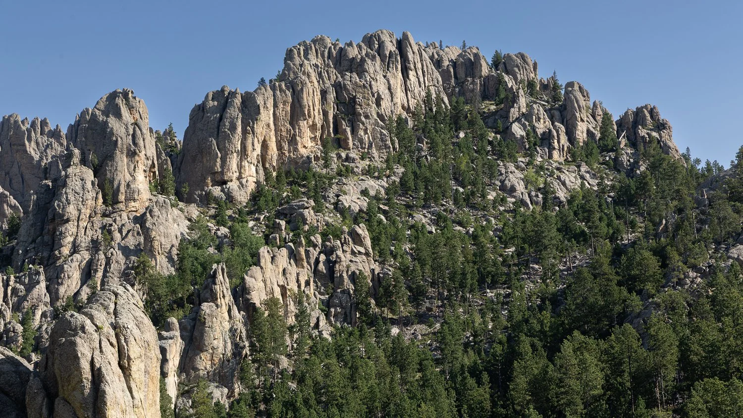
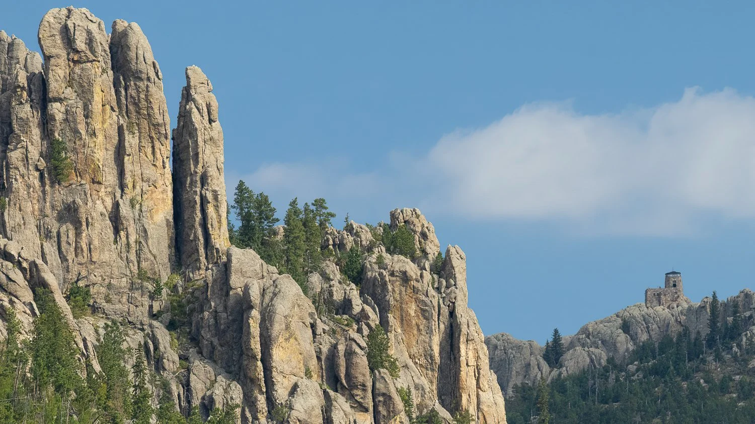
Just to the right, I could see the watchtower on Black Elk Peak.
It was absolutely beautiful.
A QUICK STOP AT CATHEDRAL SPIRES
–––
I decided to stop at the Cathedral Spires parking lot. I thought maybe I could squeeze in a short hike.
Maybe.
There weren't many parking spaces—probably only about 15 or so—but luckily, I found one.
I got out and walked over to the informational map to see what I was getting myself into.
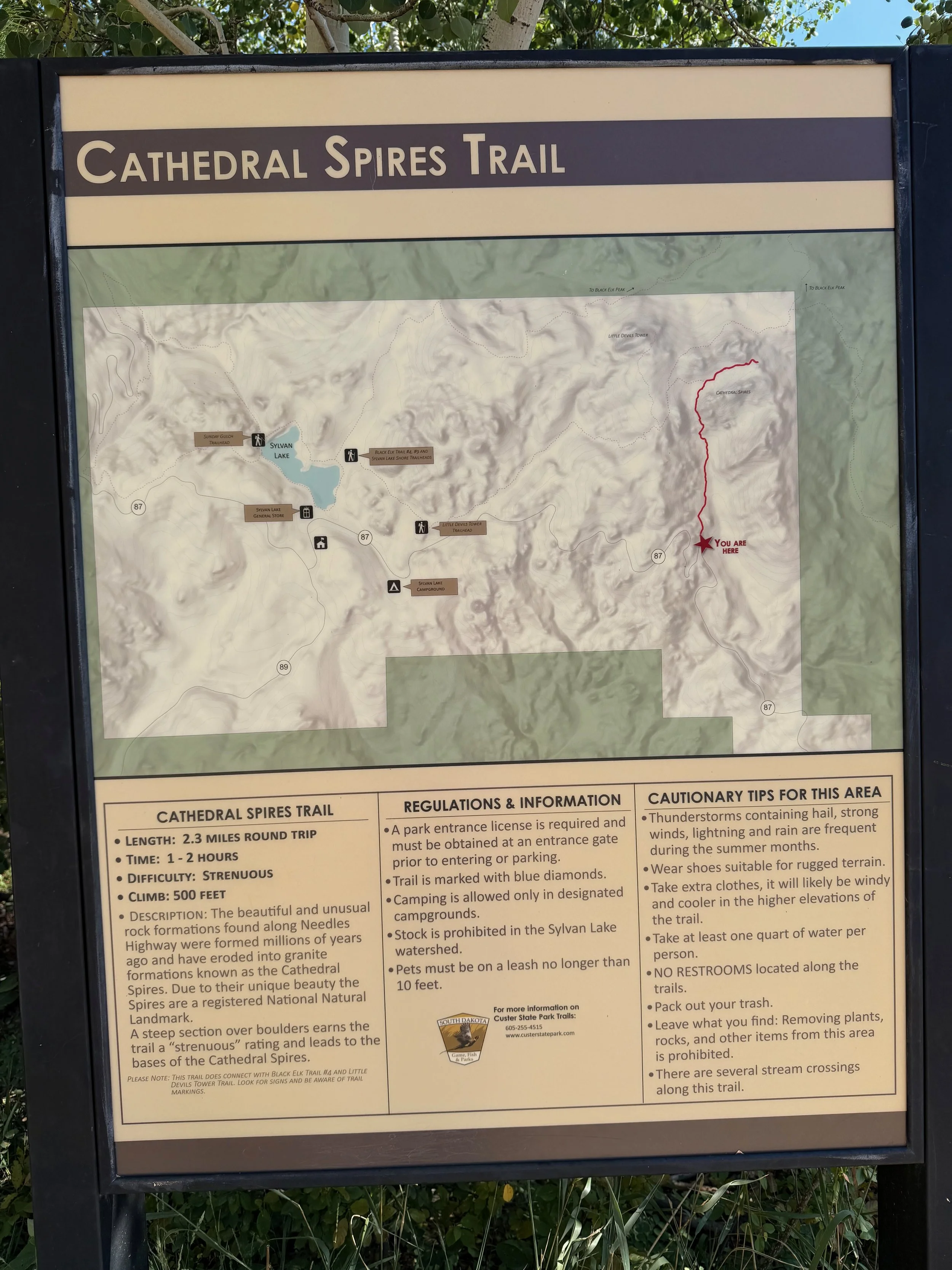
Map of Cathedral Spires Trail
500-foot gain and 1-2 hours. No time. I’ll pass.
Yeah...
Nope.
The hike was going to take about two hours, and I needed to make my way over to Crazy Horse or I was going to miss my 1:00 p.m. tour.
So much for that idea.
And honestly, I'm glad I didn't have time to do it.
More on that in the next story.
BLACK ELK PEAK
–––
Before leaving, I took some photos of the watchtower on Black Elk Peak.
In the left photo below, you can see Black Elk Peak stone fire lookout tower.
When I posted about my hike on a South Dakota Facebook page, a few people referred to it as Harney Peak, so I wanted to include a little history about the name.
Black Elk Peak, formerly known as Harney Peak, is the highest point in South Dakota.
The original name honored General William S. Harney, who led U.S. troops in the 1855 Battle of Ash Hollow, also known as the Battle of Blue Water Creek, in Nebraska. About 86 Lakota were killed, including women and children.
In 2016, the U.S. Board on Geographic Names renamed the mountain to honor Nicholas Black Elk, an Oglala Lakota holy man who described a vision he experienced on the mountain as a boy.
Today, the mountain remains a sacred place to the Lakota people.
Tomorrow, I'd be up there. And what an experience it would be.
SYLVAN LAKE
–––
I stopped at Sylvan Lake for a quick visit because I wanted to figure out where I needed to park for my Black Elk Peak hike the following morning.
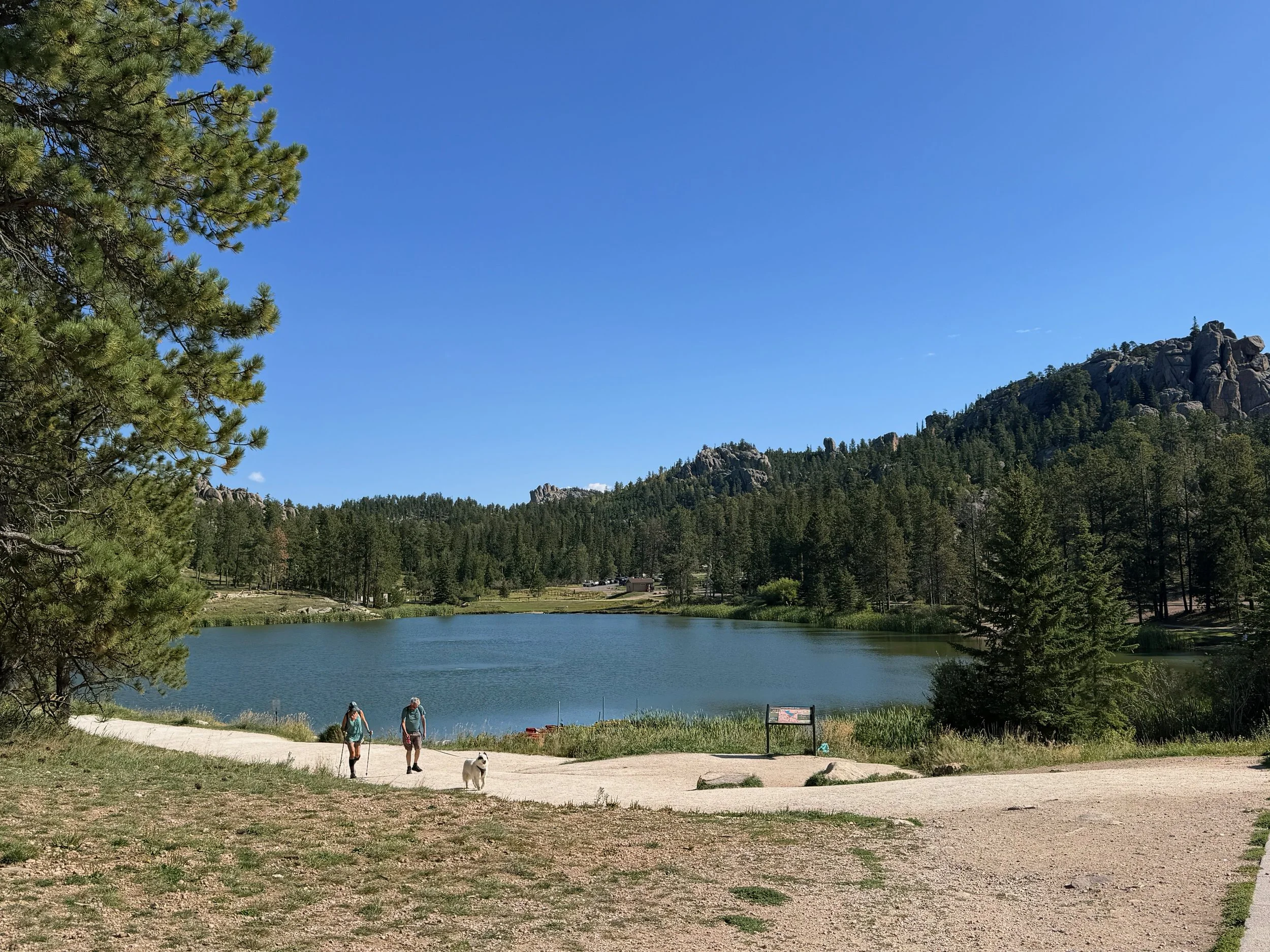
It was already pretty crowded later on in the day.
There was a large store nearby, so I went ahead and stopped in to pick up a magnet and a Black Elk Peak T-shirt.
They also had plenty of snacks and drinks, so it was a convenient stop.
While I was checking out, I asked the woman at the register if she had ever hiked Black Elk Peak.
Nope.
Well...
That didn't make me feel any better.
I told her I had plans to hike it the next morning, and she asked me to stop back in and let her know how it went.
Well, shoot.
More on that later.
CRAZY HORSE MEMORIAL
–––
I started making my way toward Crazy Horse.
It was such a gorgeous day.
Blue skies.
About 20 minutes later, I arrived at the entrance to the Crazy Horse Memorial.
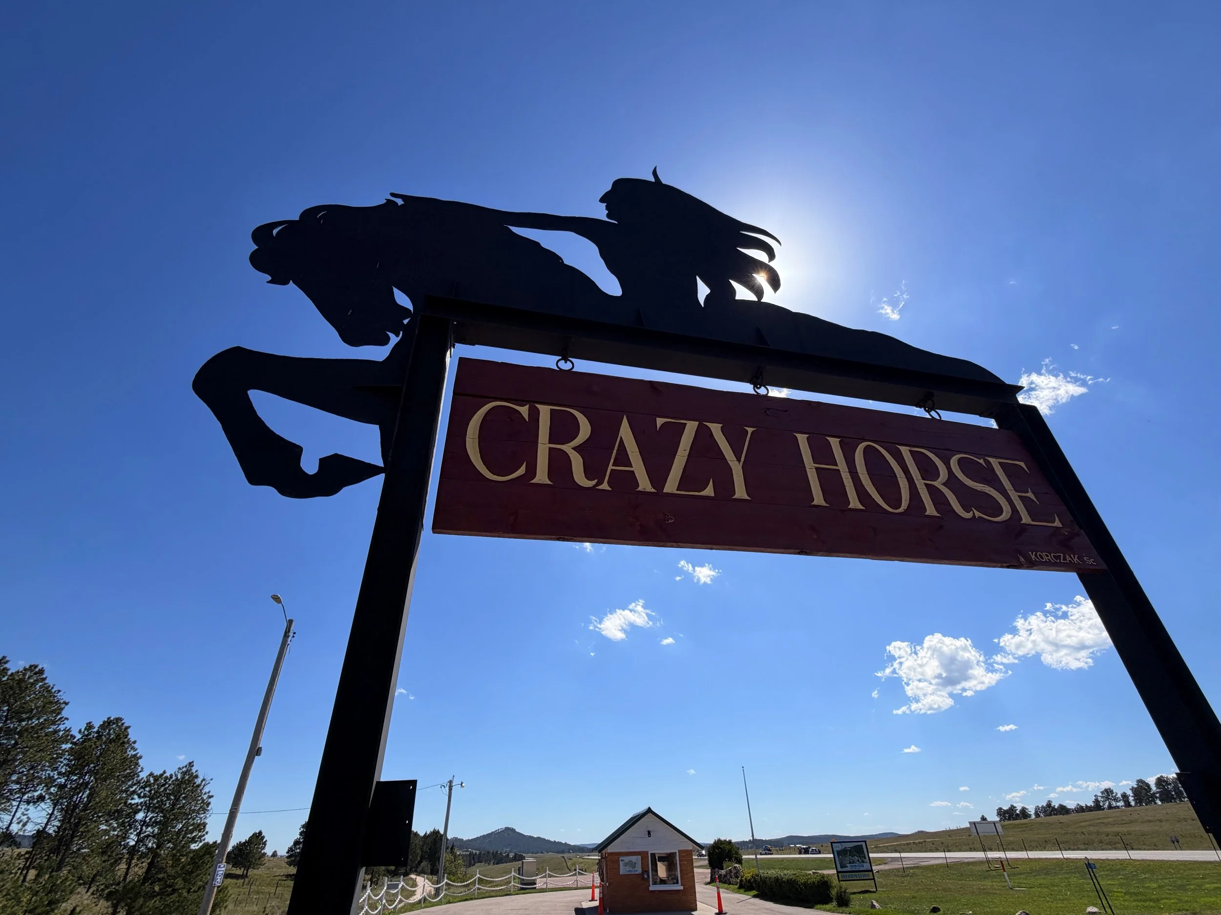
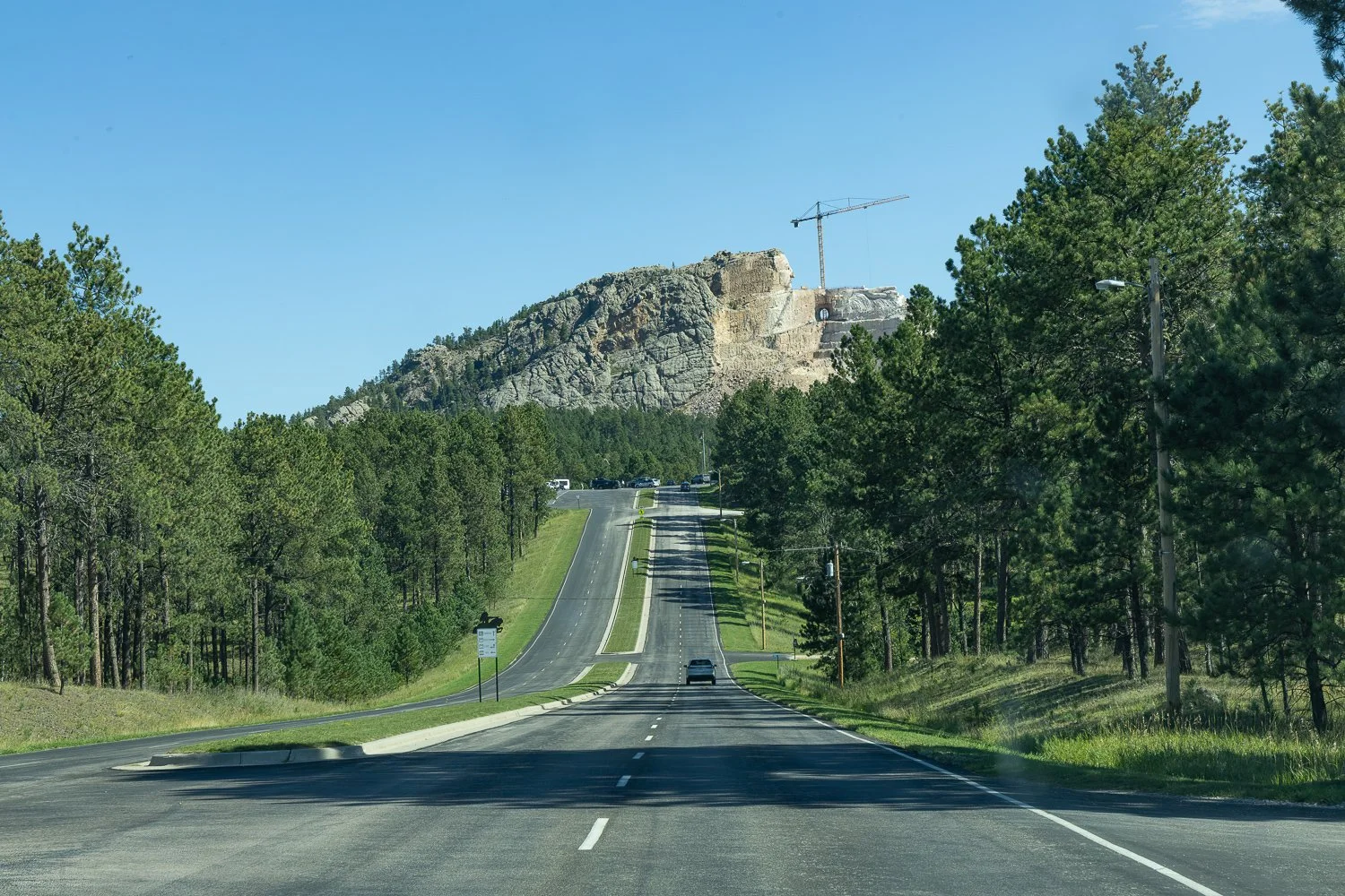
I had free admission because I had made a donation, which allowed me to take the van tour instead of the bus tour.
The statue was visible from a distance, but I knew I'd get a much closer look later.
First, I went inside to check in.
Except...
The man at the counter couldn't find my name on the list.
Umm...
He asked another woman to help, and it turned out he was looking at the wrong day.
Phew!
Once that was cleared up, I walked around the museum and looked at the photographs, artifacts, and exhibits.
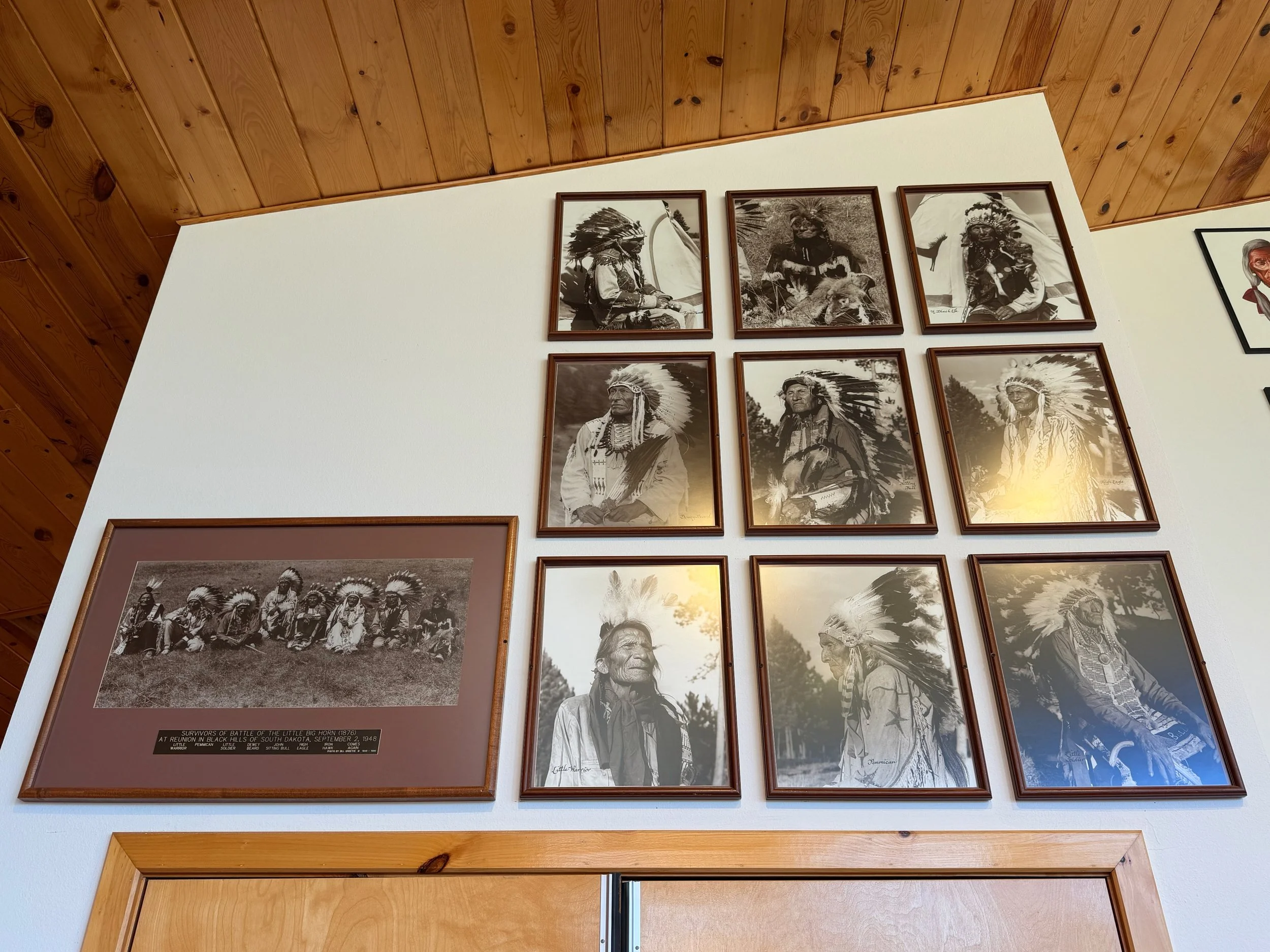
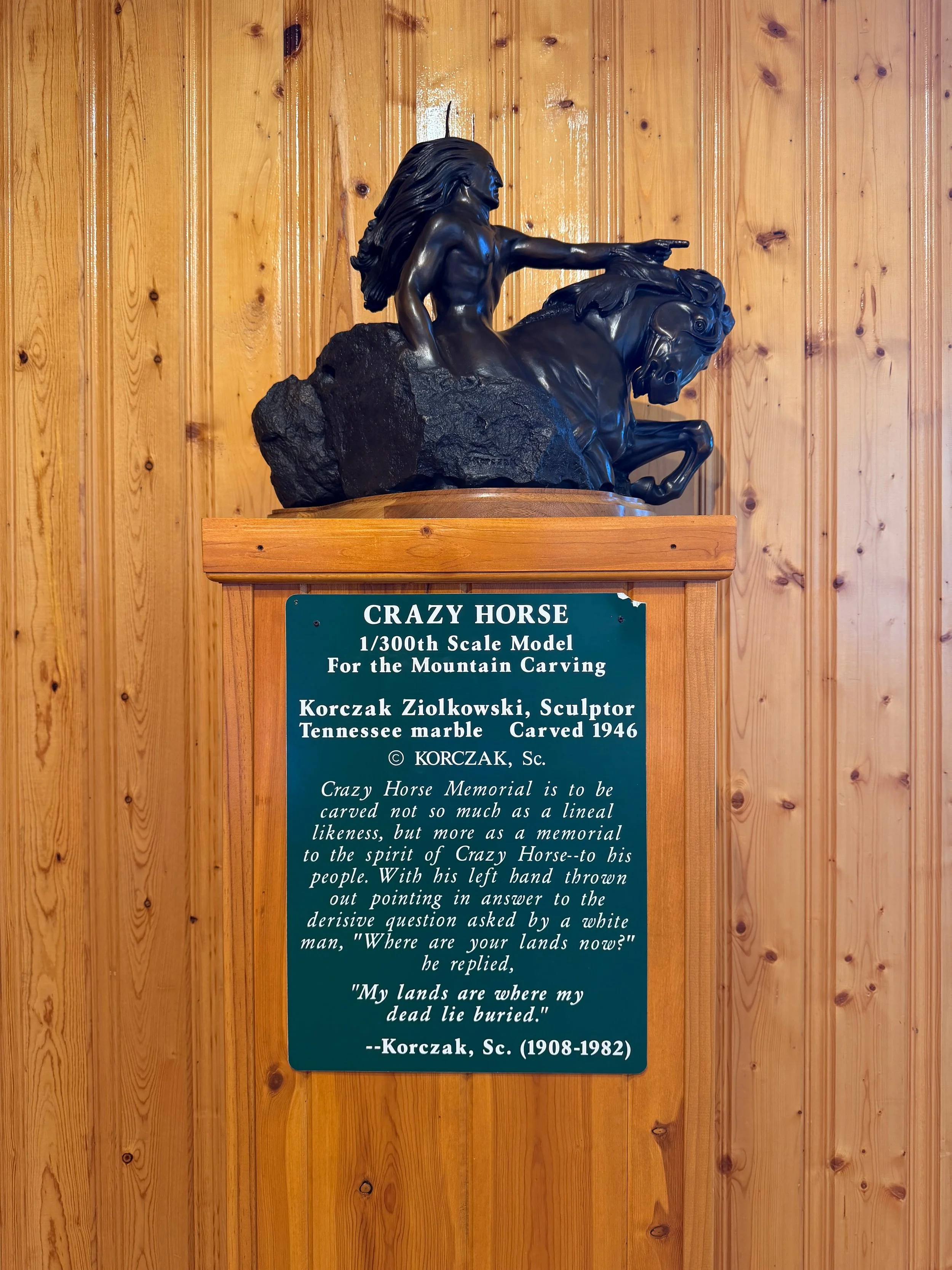
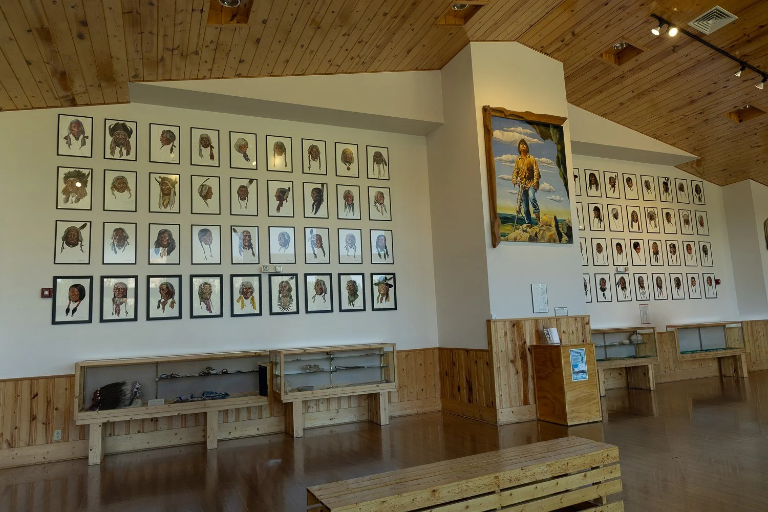
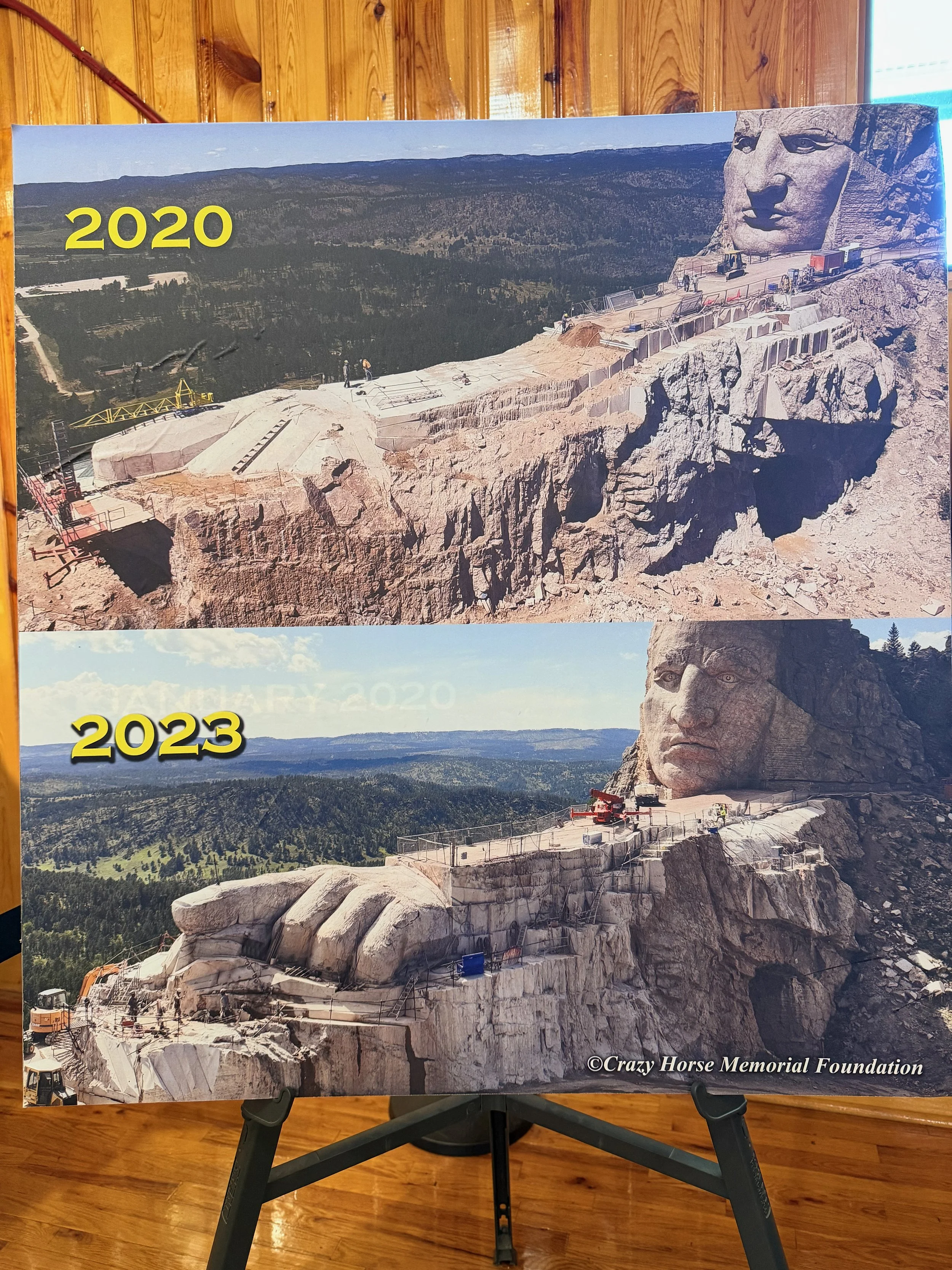
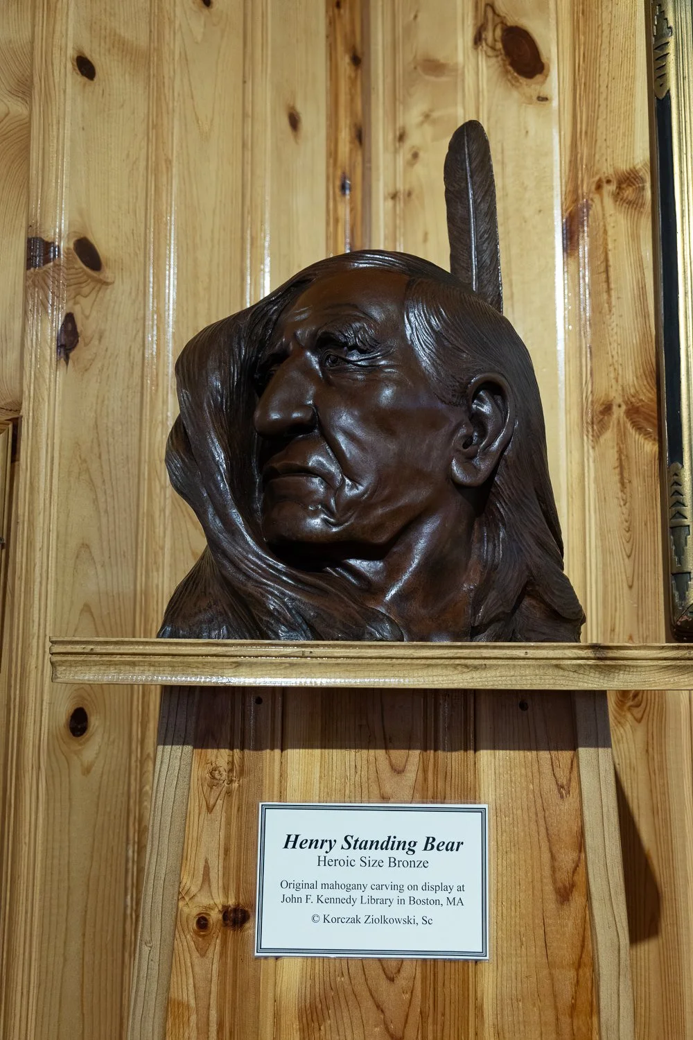
I bought one of those rubber bracelets from the gift shop, along with a magnet. At the time, it was just a little souvenir. I had no idea it would mean so much more to me the following day.
THE HOOP DANCE
–––
I arrived at the memorial a bit early, so I headed toward the back of the building. The woman at the register had told me a Lakota woman would be performing a hoop dance.
A what?
I had never seen one before.
I went through the back doors and found a small stage. A Lakota woman appeared in traditional performance clothing and began talking about the history and meaning behind the dance.
Then she started performing.
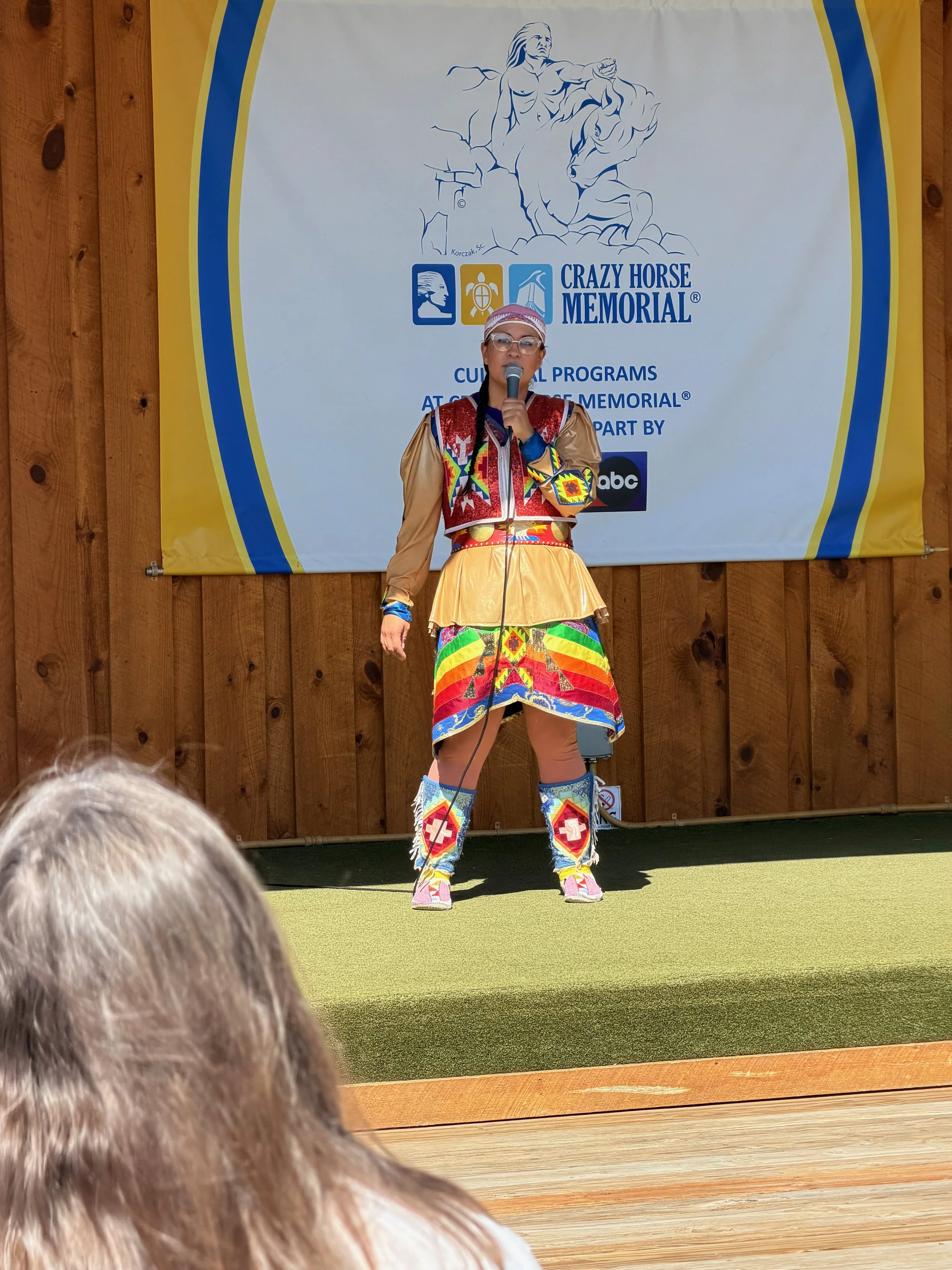
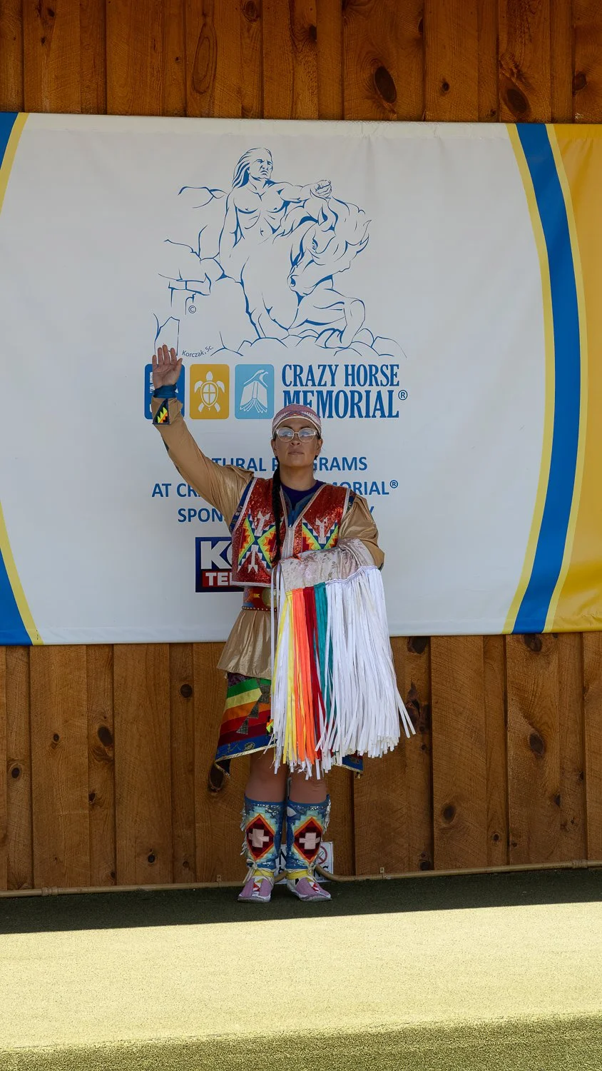
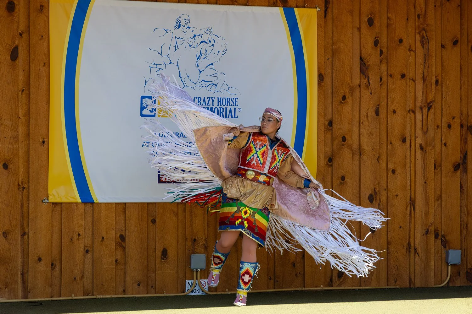
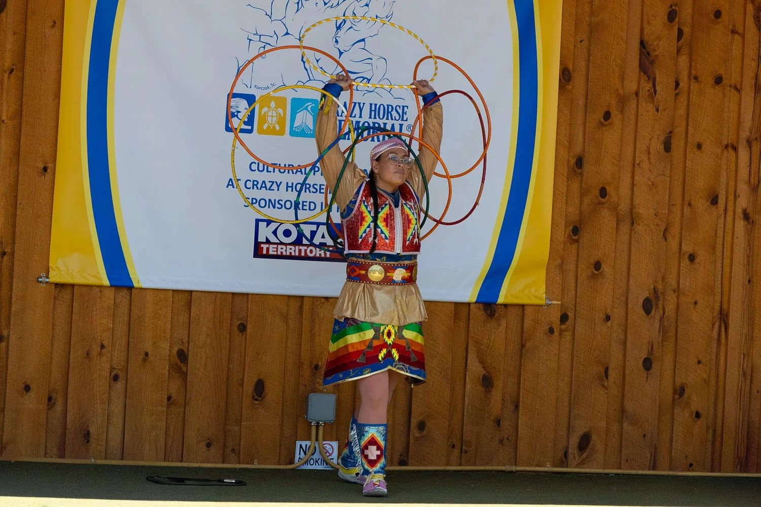
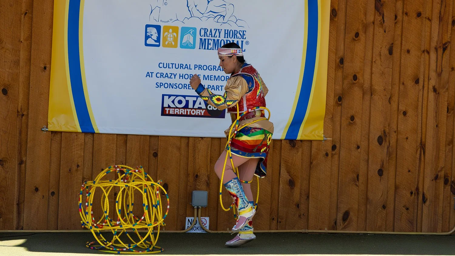
And wow.
The way she manipulated those hoops was incredible.
Unfortunately, I didn't get much video of the actual dancing.
I had initially turned off my GoPro because people kept walking in front of the camera, and I didn't want a bunch of random heads in my footage.
Then I forgot to turn it back on.
Rookie mistake.
I did get some photographs, but photographs really don't capture what she was doing with those hoops.
After about 45 minutes, the performance ended and it was time for me to head over to the tour counter.
UP TO THE MOUNTAIN
–––
Hard hats on.
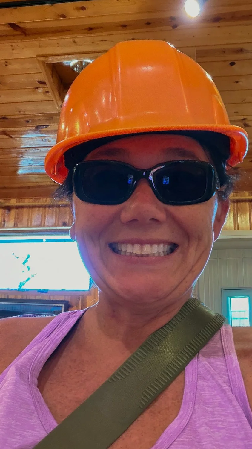
Safety First
Gotta be sure to protect the noggin.
There were about eight of us, and we loaded into a van that took us up toward the construction site.
Our guide had been working on the monument for 23 years. He also told us that he had witnessed the first explosion at the site when he was only eight years old.
As we approached the construction area, I understood why we needed the hard hats.
We walked along a short path while our guide explained the history of the monument. There was equipment scattered around the site, and some of the tools were huge.
We walked a little farther.
Then our guide had us turn around.
And...
Wohhh.
There it was.
The face of Crazy Horse.
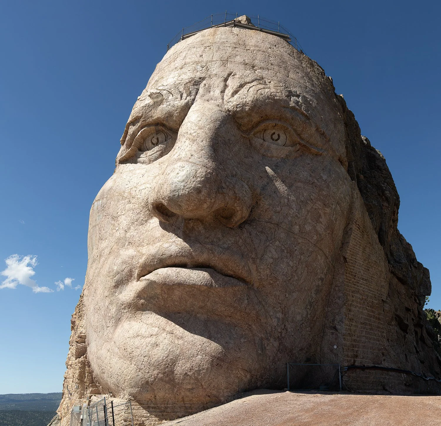
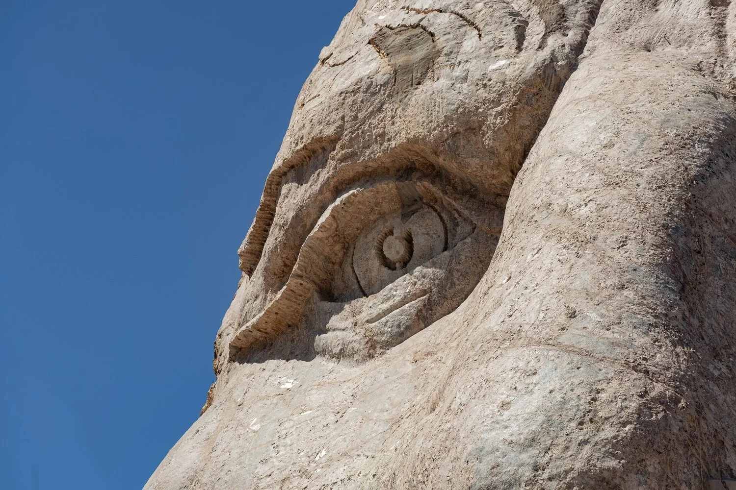
87½ feet tall.
Seeing it from that close was pretty amazing.
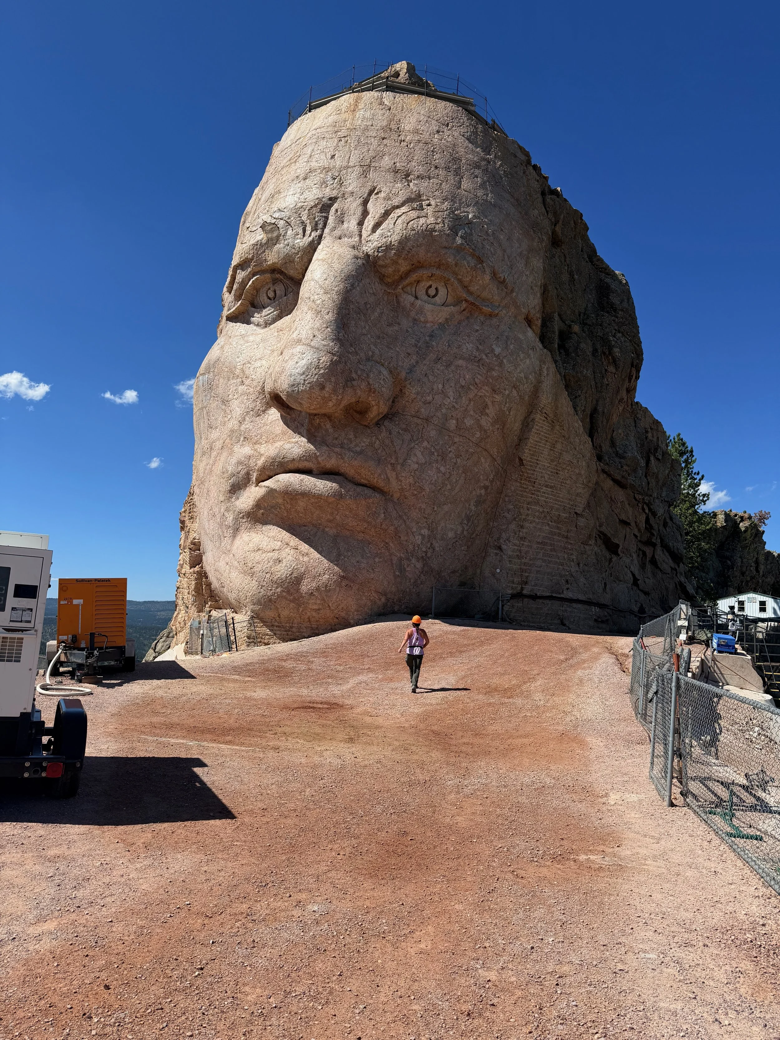
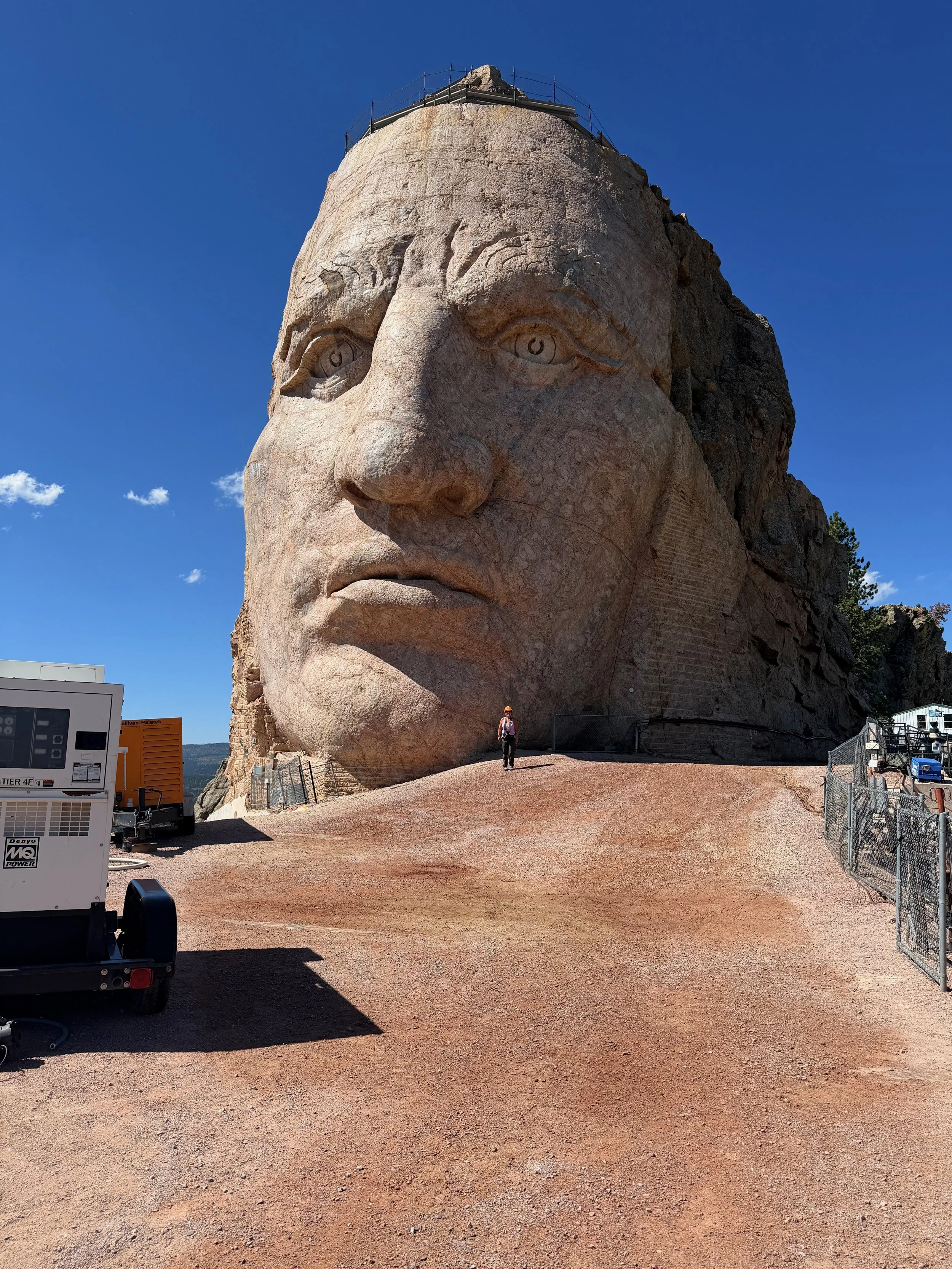
Yep, that’s me. The size of that face in comparison.
When completed, the entire mountain carving is planned to be 563 feet high and 641 feet long, which would make it the largest mountain carving in the world.
And the views from up there?
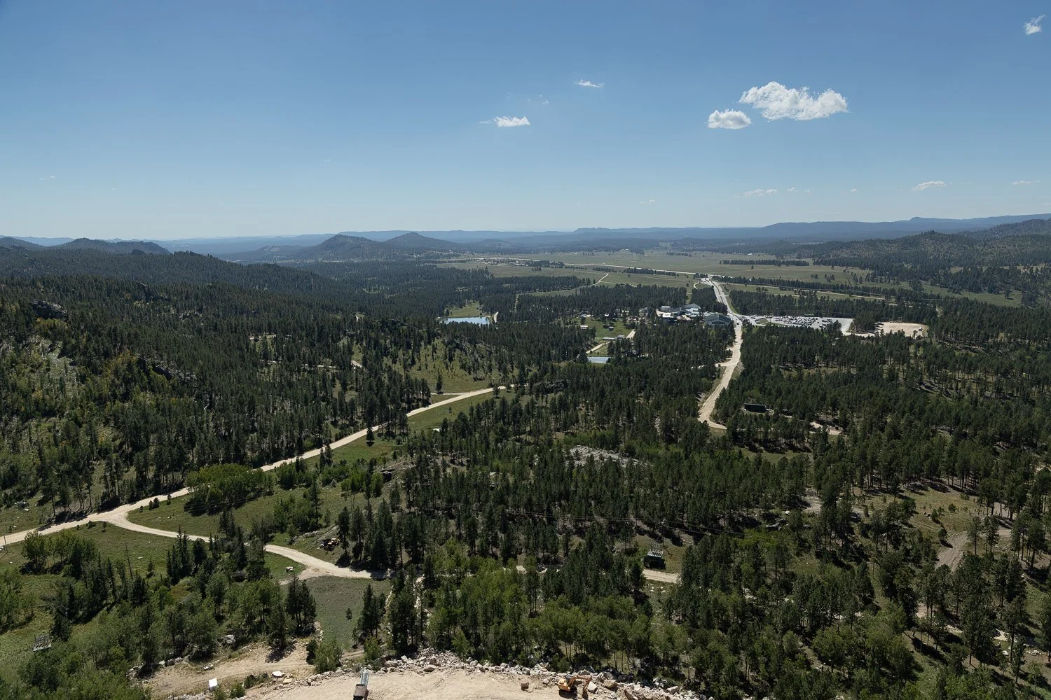
The view of the Crazy Horse’s visitor center area down below.
Incredible.
After about 45 minutes, it was time to head back down.
On the drive back, one of the women suddenly yelled:
“Oh, what was that?”
Apparently, there were mountain goats nearby.
Of course, I didn't see them.
I was sitting on the driver's side of the van, so I couldn't see what everyone else was looking at.
Story of my life.
We eventually made our way back to the main building, and it was time to head back to Custer.
CARBO-LOADING FOR TOMORROW
–––
It was about 2:30 p.m., which meant it was almost time to check into my hotel, the Comfort Inn & Suites.
Except...
My room wasn't ready.
So I ended up sitting in the lobby for a while.
The woman at the front desk was nice and told me that I'd be on the first floor.
Oh, thank God.
I had so much crap with me that I really didn't want to haul everything up an elevator.
Eventually, I was finally able to check in.
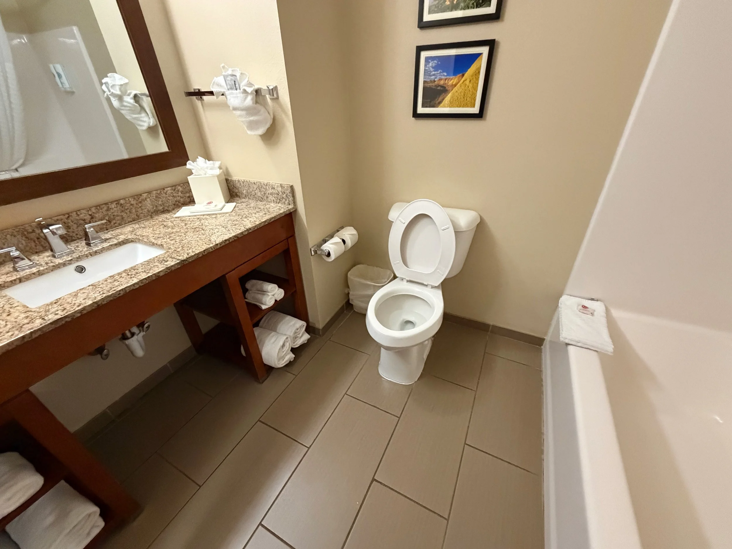
The room was actually pretty nice, which was exactly what I needed. After everything I'd done that day, I really needed somewhere to relax and recharge before tomorrow.
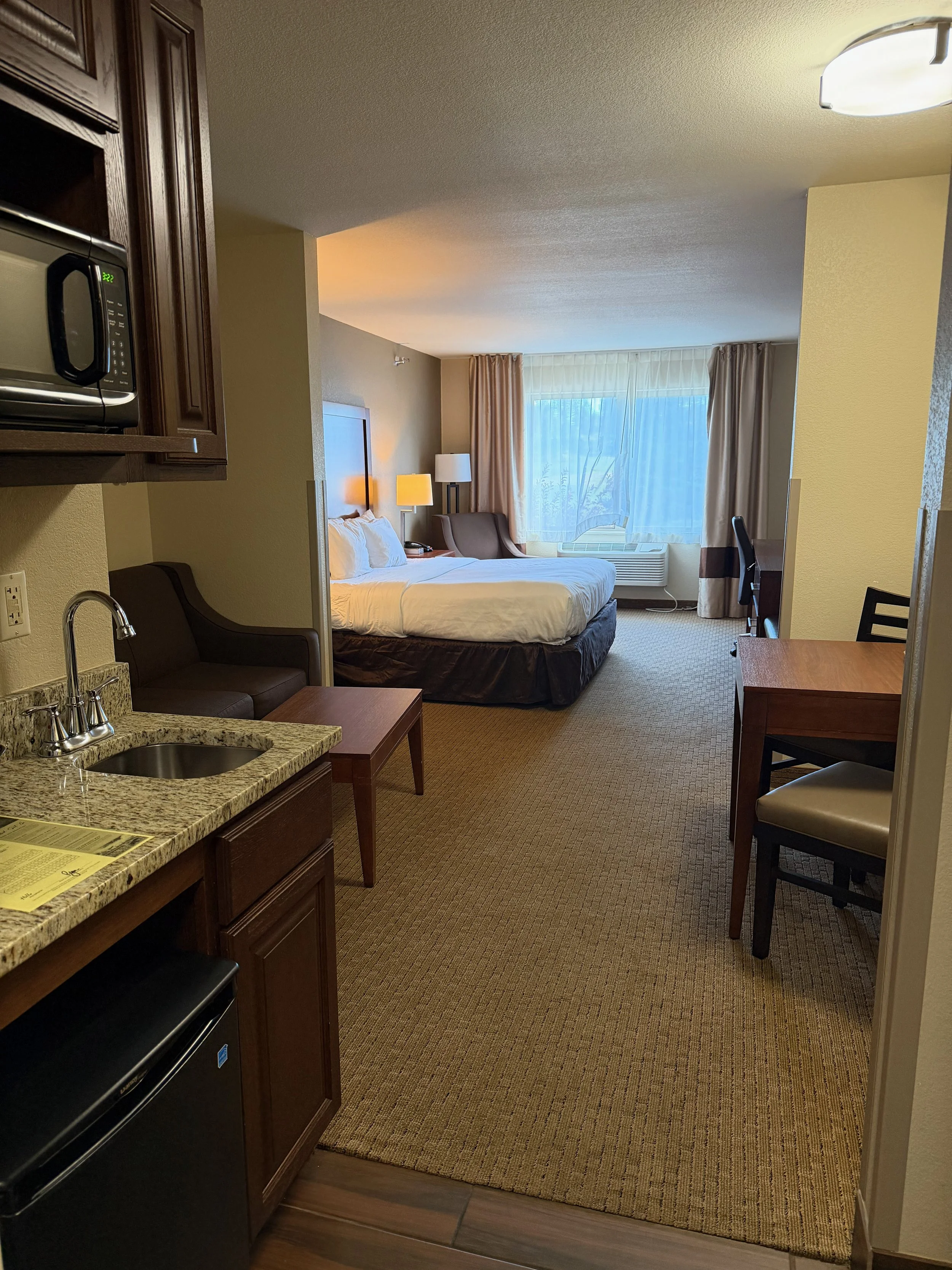
After unloading my stuff, I decided it was time to load up on protein and carbs.
Tomorrow was going to be a big day, both mentally and physically.
I had read about a nearby restaurant called Sage Creek Grille and decided to give it a try. It was only about a 20-minute walk from the hotel, but considering what I had planned for the next morning, I figured I'd better save my legs.
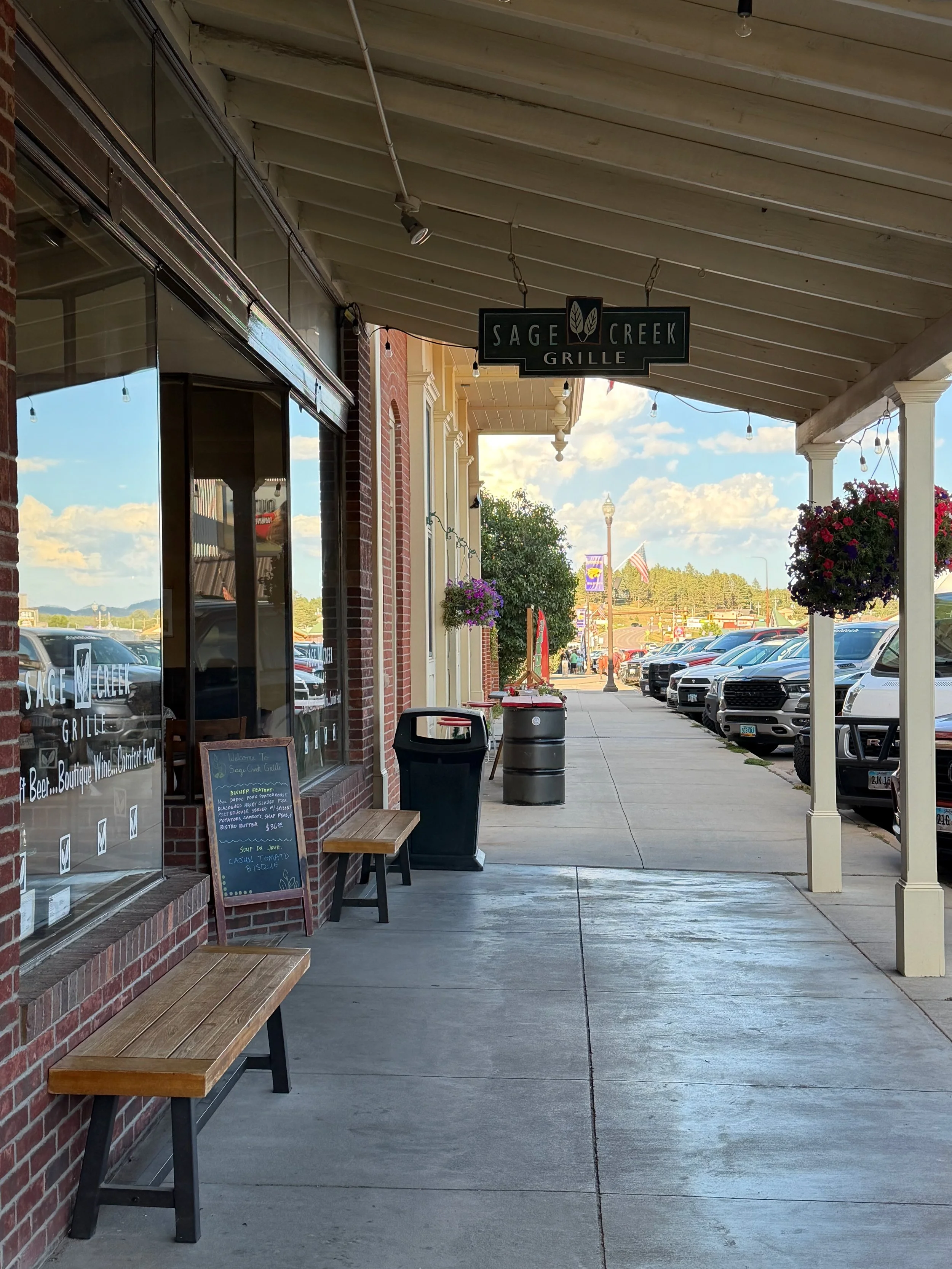
Sage Creek Grille Restaurant
The front entrance.
So I jumped in the car and drove over.
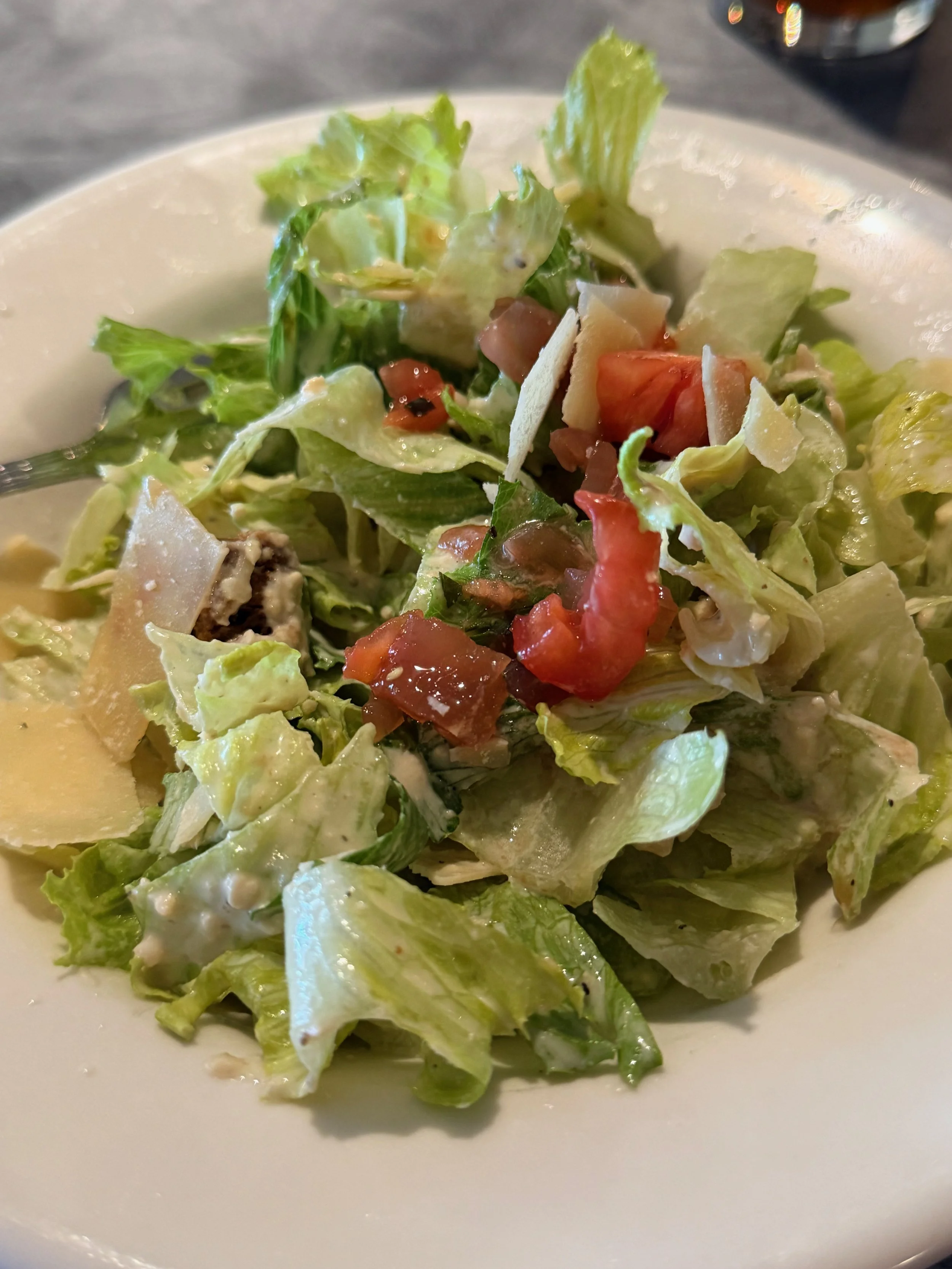
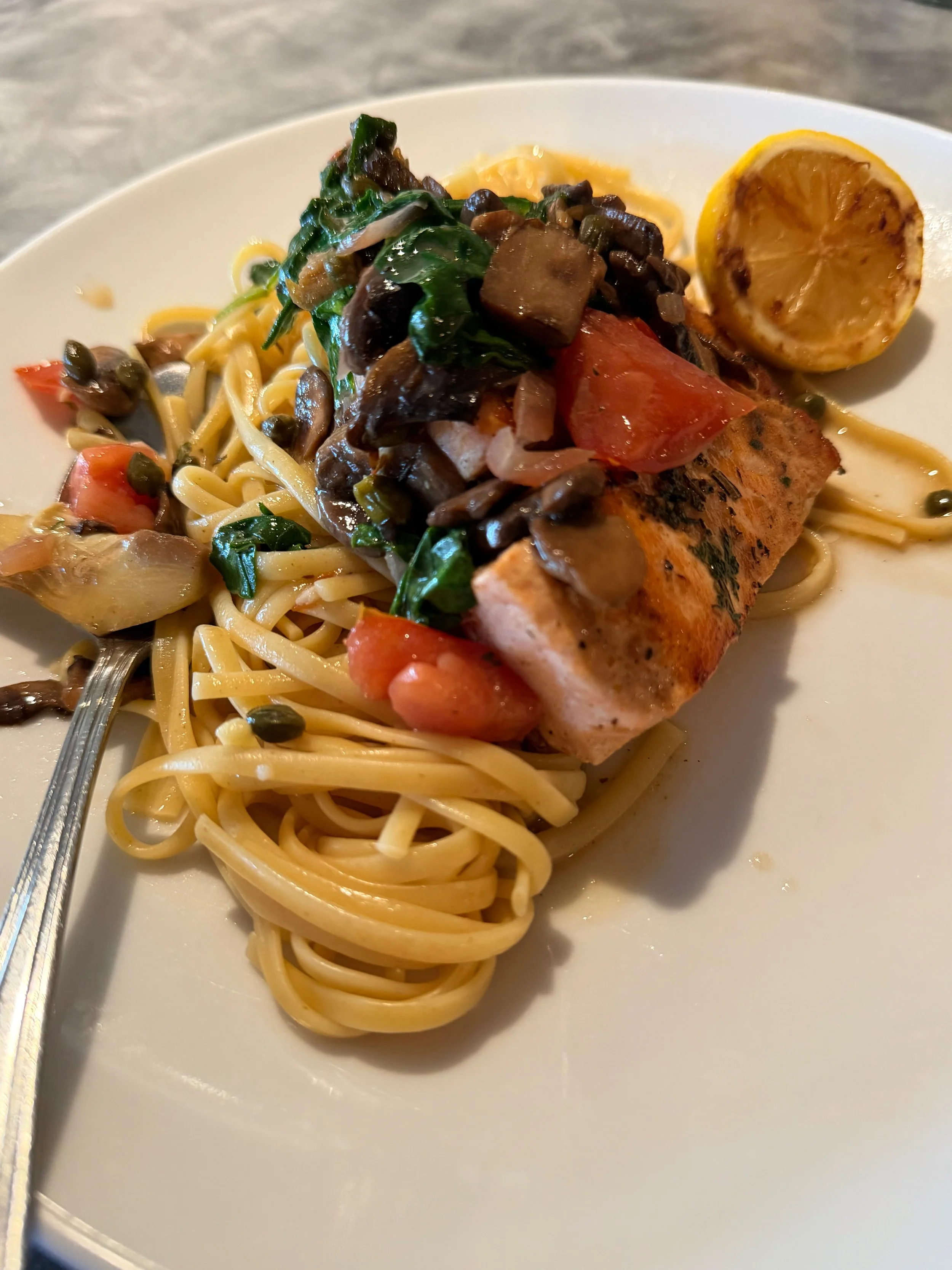
I was seated at the bar and ordered Salmon Piccata—pan-seared salmon over linguine—along with a Caesar salad.
The servers were incredibly nice, and one of them eventually convinced me to order dessert.
Even after I told him I was too full.
Fine.
I ordered a Crème Brûlée Cheesecake to go.
I was way too full to eat it after dinner, so I took it back to my room for later.
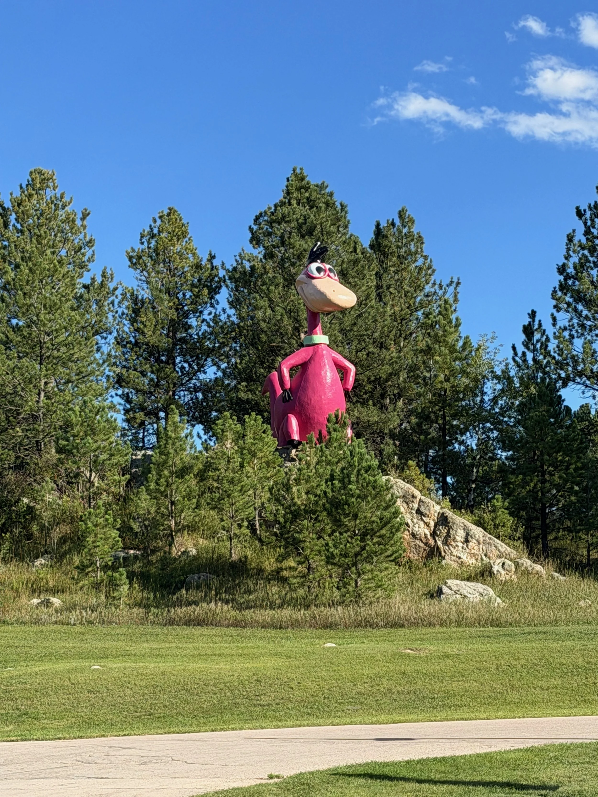
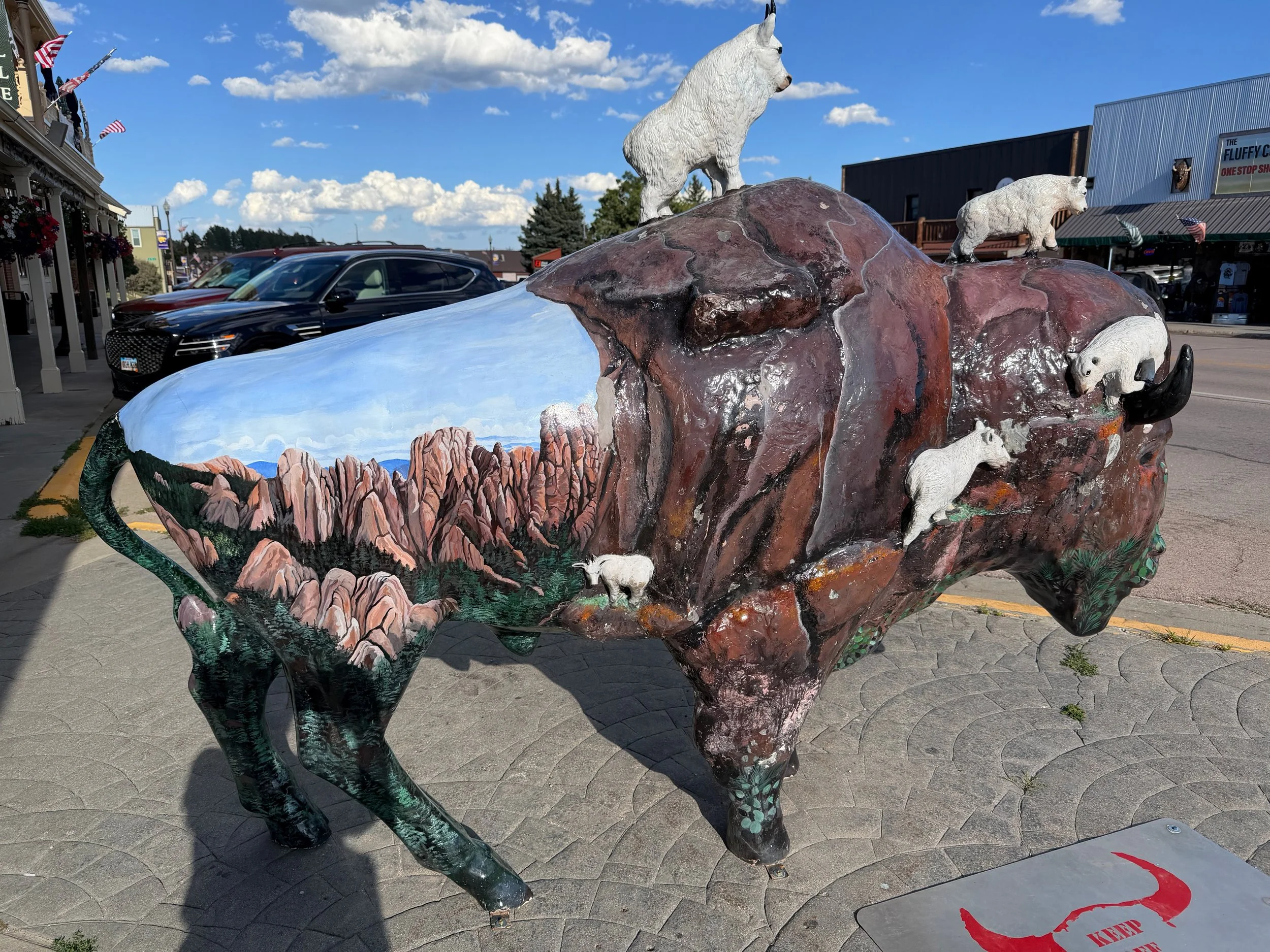
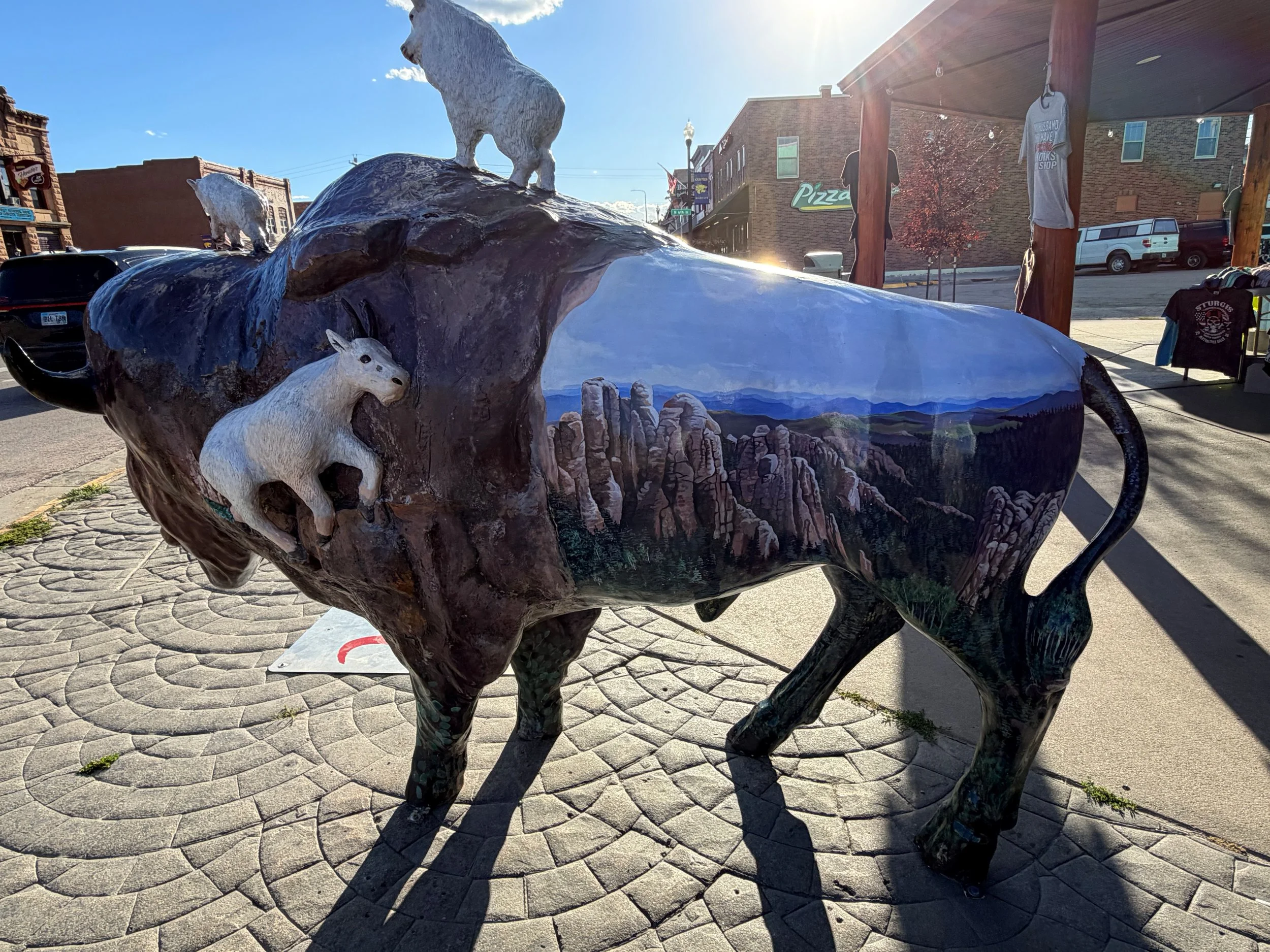
Ran into some statues along the main strip of Custer. What’s up with the pink dinosaur?
GRAPPLING THE FEAR
–––
My original plan had actually been to stop at The Purple Pie Place, which was supposed to have really good pie and ice cream.
But I thought...
Maybe tomorrow.
I finally finished my meal and headed back to the hotel.
I took a shower and relaxed on the bed.
But I couldn't completely relax.
I was really nervous about the next day.
Not just physically.
Mentally.
I had researched the hike, but I knew I was going to be doing this alone.
I kept running through all kinds of scenarios in my head.
What if I twisted my ankle?
What if something happened and I couldn't get back down?
What if I didn't bring enough water?
I'd read comments from other hikers about people getting hurt, twisting ankles, struggling with the hike, and not carrying enough water.
And now all of those comments were running through my head.
Was I prepared enough?
I had researched the route and made sure I had what I needed. I had water, food, a first-aid kit, communication, navigation, and emergency equipment.
I had also left my husband my plans for the hike, and I had emergency information in the car in case I didn't return.
I had done my homework.
But I was still going alone.
I started organizing my gear while trying to make the ultimate decision.
My backpack.
Camera.
Two GoPros—one on the backpack and one on my camera.
Hiking poles.
Bear spray.
A PB&J sandwich.
Fruit bars.
A 3-liter water bladder with electrolytes.
My Garmin inReach Mini 3 Plus.
Phone.
Extra batteries for my camera and GoPros.
A small tabletop tripod.
A small first-aid kit.
A flashlight.
And my 18,000-lumen headlamp (according to the box).
I checked the forecast and saw that the mid-morning temperature was expected to be in the upper 70s, so I needed to make sure I wasn't going to be too warm once I got moving.
I settled on hiking pants, a lycra hoodie, and a light puffy jacket.
And thin gloves, just in case.
Everything was packed.
Batteries were all charged.
I was as prepared as I could possibly be.
But I was still nervous.
I knew that if I didn't go through with it, I would probably regret it. And I wasn't sure if I would ever have another opportunity.
I turned on the television to take my mind off everything and tried to relax.
Eventually, I looked at the clock.
9:00 p.m.
I think I'd better get some sleep.
Tomorrow was going to be a big day.
And I needed to be well rested.
Black Elk Peak was waiting, but I was actually willing to make it wait a bit longer.